North Hylton, Sunderland
Wood House Farm & Incline
Last Updated:
30 Oct 2022
North Hylton, Sunderland
This is a
Farm
54.905517, -1.461170
Founded in
Current status is
Demolished
Designer (if known):

Though signs remain, much of the complex has been demolished.
"The land within this meander of the Wear was known as the Wood House Estate and remained within the Hylton family ownership (Sir William Hylton built the castle in c.1400 and the family dominated the surrounding area) until 1743 when it was bought by William Maling.
The Malings became one of the leading pottery families in the North East with important works on the Wear (HER ref. 4969) and the Ouseburn in Newcastle (HER ref. 4967-4968 and 4344). Maling established the North Hylton Pottery in 1762. Before the start of these works the immediate area of the present Wood House Farm comprised only five buildings. The Wood House itself was occupied by a tenant who probably farmed the immediate area. The remaining buildings comprised eight workers’ cottages. The opening of the local pottery brought some development in the area and by 1816 Wood House had grown from a single structure to a complex of farm buildings. A windmill had been erected to the front of the farm but had fallen out of use by the end of the Napoleonic Wars.
The first Ordnance Survey surveyors in the 1950s found brickfields, a tar distillery, shipbuilding yards, a quarry, a rail network, cranes, a public house and over 30 dwellings. The farm itself had developed into a courtyard farm with attached gin-gan or horse wheel house, with a grand house known as the "Manor House" closer to the river. This still survives and holds a small place in aviation history - in 1910 Robert Welford, who lived there, constructed an early monoplane in one of the out-buildings. In the centre of the present day complex is a winding engine house in front of which is a sequence of cells for loading waggons from the railway above.
The farm buildings themselves are full of interest with a square gin-house and threshing barn, extensive stables and a blacksmith's building, as well as a farm house and cottages. What industrial processes were carried out at Wood House remains something of a mystery. Cartographical evidence suggests many activities over 250 years."
- Sitelines
NEHL - A railway led from the complex to the Wear via a series of tunnel and inclines.
"An old railway incline runs from Wood House (HER ref. 4970) to the River Wear. There is an engine winding house and a sequence of cells for loading waggons. The railway incline proceeds south-east, firstly as a cutting in the earth, then under a surviving masonry arch bridge, and then in a rock-cutting with some retaining walls down to the Wearside quayside level. Alongside the railway there is an old quarry site, now grown over with trees, and at the foot of the incline there are other structures including a chimney. There is also evidence of a tunnel. The incline is the most striking surviving feature of the area. The steep gully was probably constructed initially to convey sandstone from the mid 19th century quarry along a narrow gauge railway to the River Wear for use in the local building industry. As it became inceasingly harder to haul the stone over the lip of the quarry a tunnel was dug (c. 1.6 metres wide and 1.8 metres high) to transport the stone under the quarry face and down to the riverside. The tunnel has now been filled in for safety reasons. Later the gully was extended and the quarry line was replaced by a standard gauge line from Wood House to the Wear. The coal fired steam winding engine hauled materials up the incline and deposited them in the cells below."
- https://twsitelines.info/SMR/4971
NEHL - Much can still be seen. When I visited the area was fairly overgrown, and an information board had been ripped off from a repurposed log.
Listing Description (if available)


A significant transition took place between these maps in the 1860s and 1890s. The whole railway was dismantled from the sandstone quarry to the bottom of Nab End, leaving only some legacy buildings at the farmstead and banks of the river. The quarry was out of use, though the earthworks for the railway remained as they do today. The terraces to the south remain here which has since been demolished, and is now leafy woodland with no trace.

Change is limited from the 1890s onwards. Like today it is a very quiet and somewhat hidden area. The terraces were demolished by the 1940s, and the quarry was reclaimed by the woodland.

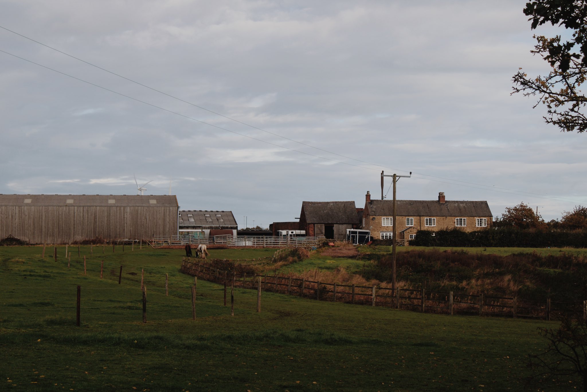
Wood House, 2022. The brick building in the centre of the photograph is the old winding house, where railway wagons would be taken up the incline and deposited into holding bays below. It was rope hauled.

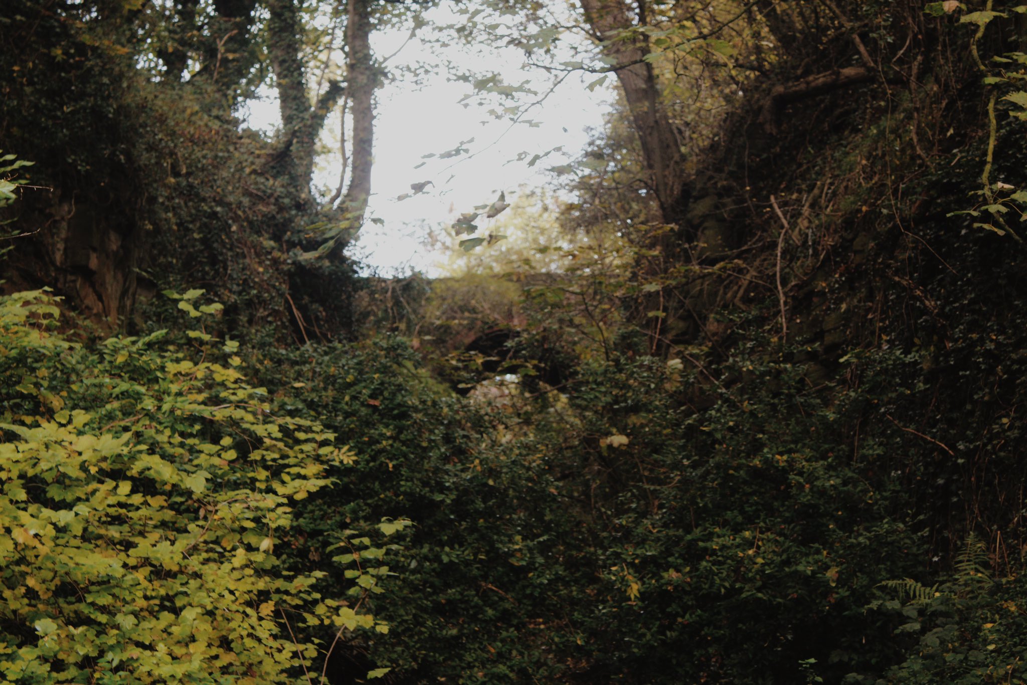
The incline from close to Manor House. Much is still visible bit overgrown. The bridge is still traversable but seems very rarely used, and the trail this time of year appears very off the beaten track. It formed a footpath between Wood House and Manor House in the 19th century.

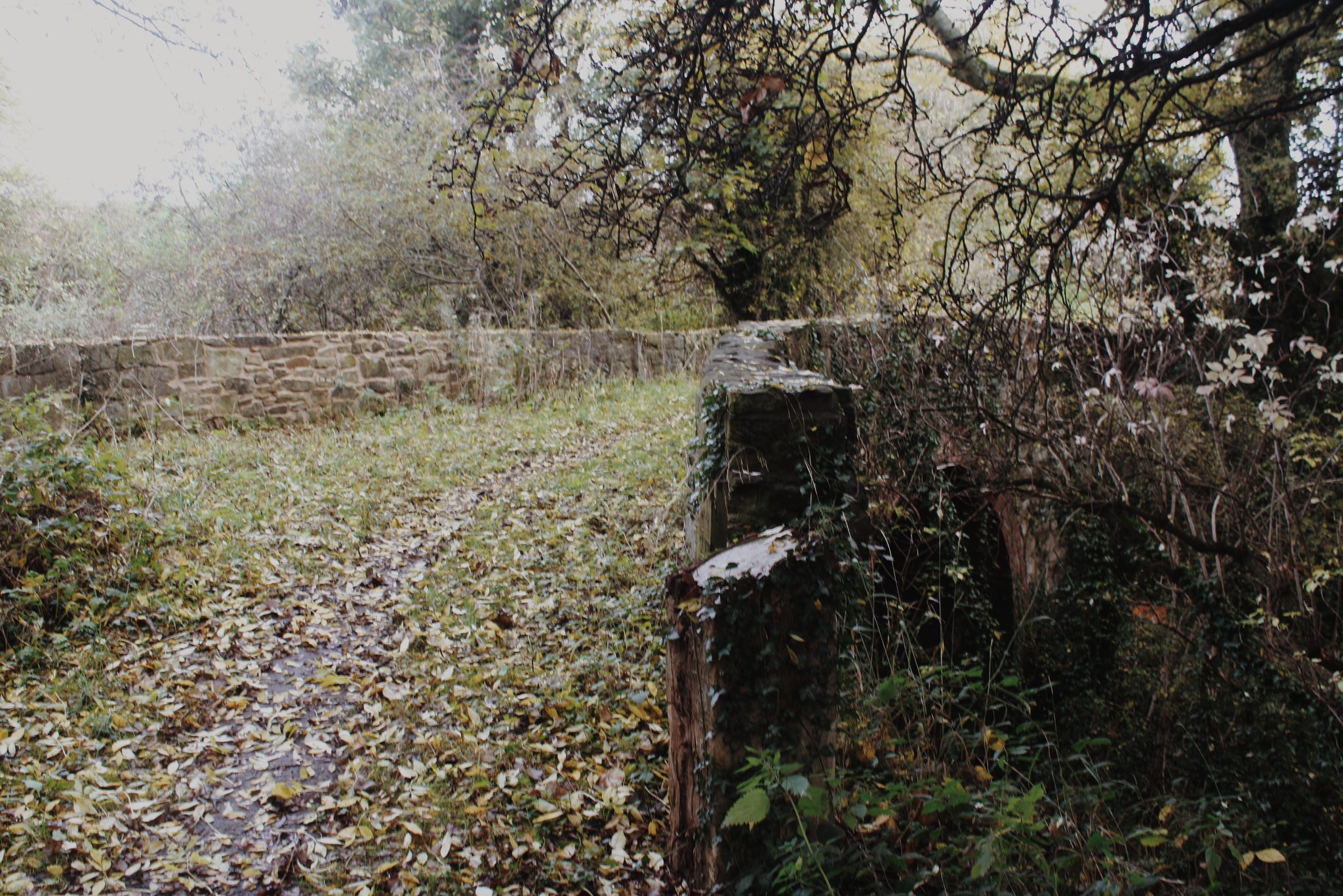
The bridge, 2022. The log in the foreground appears to be an information board with its plaque ripped off. It's a handsome bridge, and probably a relief it's rarely utilised.
