Weatherhill Incline & Engine House
Stanhope
Last Updated:
29 Aug 2025
Stanhope
54.775726, -2.005250
Site Type:
Railway, Inclined Plane, Engine House
Origin:
Status:
Partly Preserved
Designer (if known):
Thomas Harrison
Beam Engine now at the NRM

Engine House
It’s essentially vacant land today bar a fence of sleepers lining the boundary, but this is the top of the famous Weatherhill Incline. Here stood the engine which wound up the wagons from Stanhope, and if you’ve been to the Railway Museum at York you’ll have absolutely seen it.
This was one of the most important features of the line, as it was the first mechanism to take limestone from the Stanhope Quarries over to Consett and beyond. Without this, there’s absolutely no chance anything could make it up Weatherhill because it is such a sheer climb. It was quite literally the key to unlock the potential of the Weardale limelands. Bear in mind, this was the second highest point on the railway in all of Great Britain.
It was constructed in the early 1830s alongside the rest of the railway. The stationary engine was made by Hawks & Co at Gateshead, and was capable of climbing to 50 horse power - a feat in the early days of steam.
Today there’s very little left, but for many the old engine house is within living memory as it stood alongside the newer engine house of 1918. The last legacy is the sleeper fence which once acted as a snow barrier for when it gets particular lethal up here.
Weatherhill Incline
Shortly after encountering the engine house, you can follow the old trackway which leads all the way down to Stanhope from a great height above the fells. This was where the limestone was hauled up on rails by a long rope which hooked onto the engine house from the 1830s. The luck for the line was struck on day one, when the rope snapped unexpectedly and the waggons ran down the hill. A man and a 9 year old boy were killed by the waggons and a few more were injured.
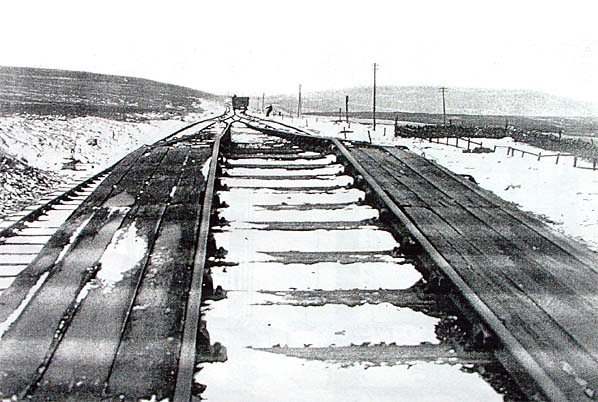
The line was technically double track, but intersected by a central rail with two separate ropes on each side - I presume this was an economic move with passing loops or otherwise, or to fit through the Crawleyside tunnel. The photographs below give you a good idea though, and are situated pretty much where I'm standing on the modern shots.
The line leads downwards for over a mile, with the harsh grades subject to the harshest weather conditions. I do not envy anyone who worked here, and in fact a fella walking from Waskerley to Stanhope for medicine actually died in a harsh snowy March of 1892. His body was stiff and frozen upon discovery and was supposedly drunk, so you can presume he got into extreme difficulty traversing the snow.
Luckily the weather was far better for me, allowing for a much calmer trundle down the gradient. Looking down at the ground, you can still see the shadows of the sleepers which occupied the gravelly area.
Listing Description


The foot of the Stanhope & Tyne can be seen in these Ordnance Surveys dating back to the 1850s and 1890s. Though the gradient doesn't translate too well, what is evident is the bleakness of the environment around it. This was harsh territory to work in, and those platelayers maintaining this track will have been the hardiest of men. At the head of the incline we can see the engine house between a quarry and a set of workers cottages which are still in situ today, similar to what can still be seen at Crawley a mile down the rails. The engine house stood adjacent to the yard where wagons would be hitched off the rope and instead connected to a locomotive to make its way over to Waskerley for locomotive working to Tow Law or a further inclined plane to Consett. The line to Tow Law and Bishop Auckland came some decades after.

Only very minor changes are exhibited in the following decades, as seen on this plan from 1921. The Millstone Quarries east of Weatherhill ceased operation, which made for the last of the multiple circling this area likely used at the mines and to develop the accommodations for workers around the area. It's also clear there was an engine house over the road north of the cottages, though I couldn't say what this was for and could be for some agricultural use. This survey was produced around the same time the replacement engine house for the incline was being constructed.

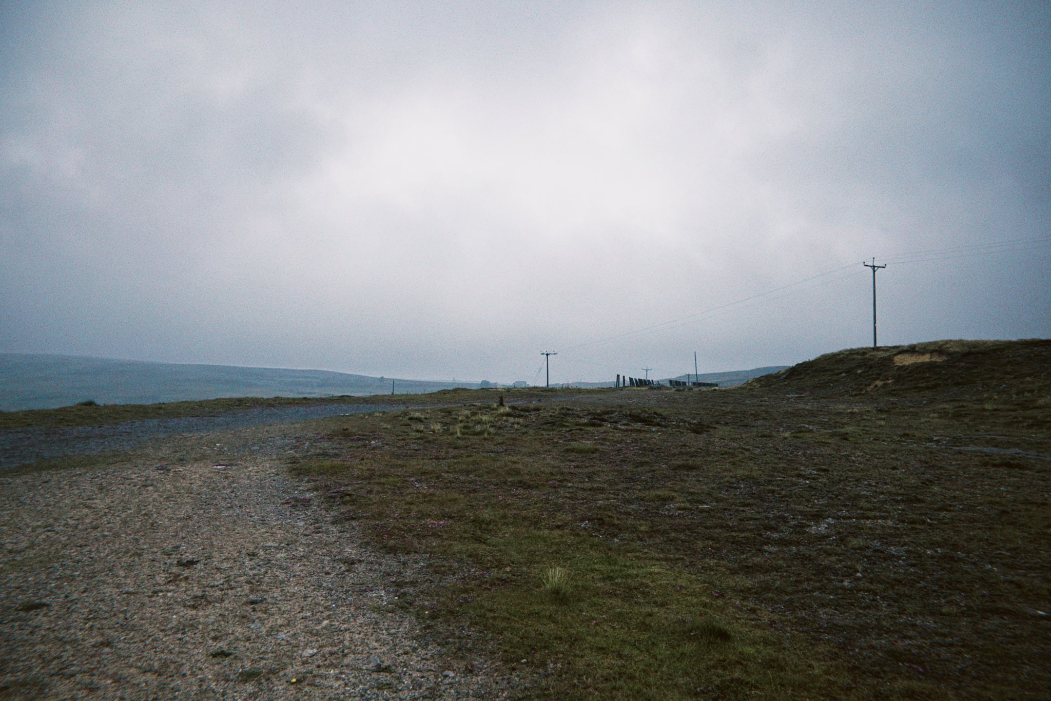
The head of the Weatherhill Incline in July 2025.

A very similar viewpoint seen here also, showing the three rail system leading down the gradient towards Crawley. It was very likely taken in the 1940s or 50s.
Source: Disused Stations http://www.disused-stations.org.uk/s/stanhope_and_tyne/index20.shtml

The site of the Weatherhill Engine and exchange yard in July 2025.