Waskerley Railway Station
Waskerley
Last Updated:
26 Aug 2025
Waskerley
54.802733, -1.921398
Site Type:
Railway Station, Goods Station
Origin:
Status:
Partly Preserved
Designer (if known):
Now part of the Waskerley Way

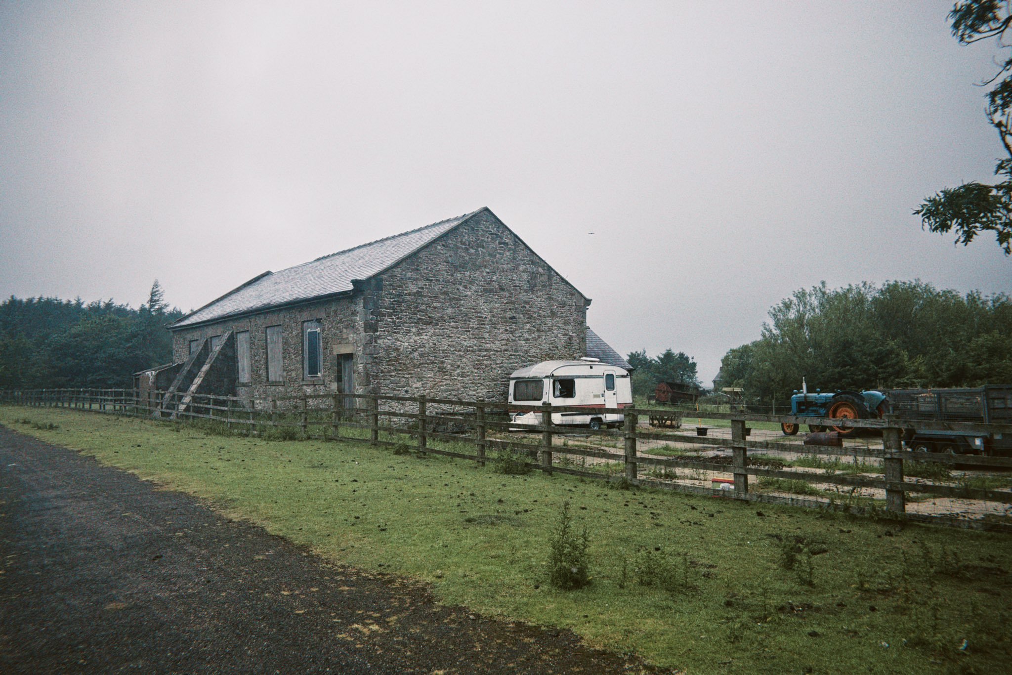
These are the remains of Waskerley Station today, an open path in a sea of green and heather. The goods shed and old loading bank are the only features in situ today, which can be seen on both the shots below.
It is truly in the middle of nowhere, but served a great strategic purpose. Westwards was the last section of the Stanhope & Tyne to Weardale, an incredibly isolated line high above Stanhope on old hunting grounds, grazing moors and lead workings leading to the limestone quarries on the Wear. Northwards led to Rowley and the great metal working outpost of Consett and southwards a single track passenger & goods link to Tow Law, Crook and Darlington. Such made it the beating heart of a line which its surroundings relied upon, with the movement of coal and raw metals uniting a whole supply chain.
Trains from Tow Law to Consett would require a reversal here, as the gradients were just too much for the locomotives of the day to pull. Wagons would be hitched onto ropes and made their way up Nanny Mayer's incline, while locomotives took them down to Tow Law. It was the Stockton & Darlington who finally replaced these inefficient ways of working with full locomotive running by 1859.
Given the junction and the developing village around it, passenger services commenced here from 1845 and carried on through to the turn of the 1860s. It was originally named Waskerley Park, and featured a charming little station building. I can't imagine there being a proper platform, though it wouldn't have been a bad idea given how harsh it is up here. Folk probably climbed up on the old wooden steps on carriages from track level.
Much of its life was purely for goods, swapping between rope and locomotives until the late 1850s. Sidings were provided for the next century for the movement of mail, stone, lime and coal. It had its own engine shed which, in the 1890s at least, was the highest in Britain.
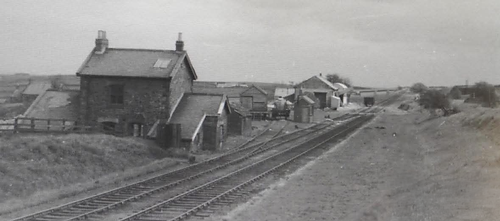
The line was still in situ into the late 1960s, though hadn't served any scheduled traffic for a good decade. Its last ever service was as part of an enthusiast's railtour in April 1965 as you can see below. They certainly knew they would be the privilege few to experience these rails for the last time.
Listing Description


These two Ordnance Survey maps depict Waskerley in the 1850s and 1890s. The first shows an intact Nanny Meyers Incline when services were required to shunt here and be hitched onto a locomotive to make their way down to Tow Law. Nanny Meyers was a fully inclined plane with rope working and an engine house just out of shot. Worthy of note is the two rows which featured its own school and later its own Methodist Church by the turn of the century. You can imagine how tight knit this tiny railway community was. Those properties were still in situ through to the second half of the 20th century.

The 1921 Ordnance Survey map helps us appreciate the growth of ameneties at Waskerley. The still extant church had been added, plus a literary institute and institute hall for local residents built by the North Eastern Railway. This was a favourite meeting spot for regional railway associations, and it should be noted the NER Institute held a special concert here in 1896 with attendees arriving by special train from Newcastle and Darlington. Vegetable shows and the like were also held in here.
Postal telegraph facilities were introduced at Waskerley in the same year, hence the addition of a post office. A year later St Matthew's Mission Church was erected in the western side of the community.

The site of the railway station facing west in July 2025

A photograph of Waskerley Station in 1963. Unknown original source.

One of the major remnants of the railway days - the Goods Shed on the northern side of the line.