Vale Farm, Sleekburn
East Sleekburn, Bedlington
Last Updated:
12 May 2024
East Sleekburn, Bedlington
55.143617, -1.553863
Site Type:
Dwelling, Farm
Origin:
Status:
Extant
Designer (if known):
Still a private dwelling

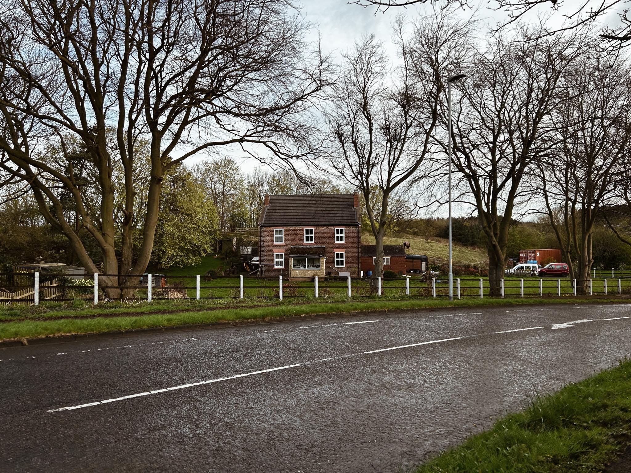
This wonderful little red brick cottage is Vale Farm, on the fringes of Bedlington Station and East Sleekburn. It forms part of the commanding entrance to the village, with the Sleek Burn on your right and this quaint little plot on the left.
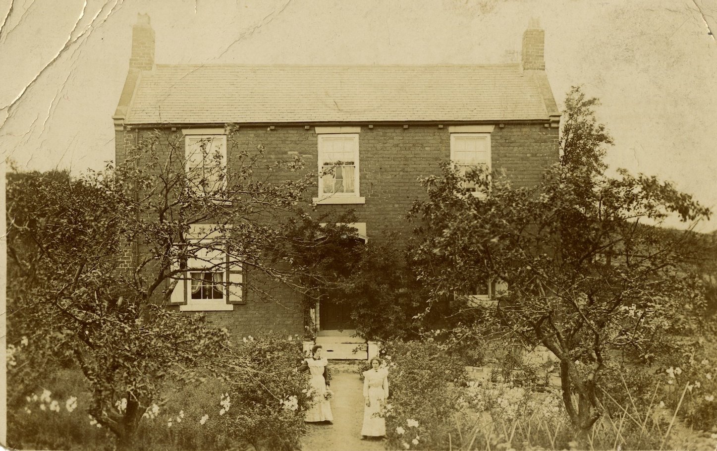
It was constructed between the 1860s and 1890s, with the Douglas family living here from this time until very recently. They ran a dairy business, and would transport the jugs of milk to the pit villages around here by horse and cart. The pasture stood to the right of the house and the land continued to be farmed until the construction of the Spine Road.
George Douglas ran the firm in the early 20th century and is pictured below. As a boy, he helped remove the hill to build the farm on the gradient down to the river. They were clearly very well thought of, as Mrs J Douglas was the judge of various farming competitions in the area. The family were also members of the Home Guard which were headquartered at the General Havelock in the village.
Nowdays, the residence is in other hands but remains one of the prettiest dwellings in the village.
I'd heartily recommend given this a listen. An oral history recording of Ralph Douglas who lived at Vale Farm, recalling his experiences of the Home Guard during WWII: https://calmview.northumberland.gov.uk/Record.aspx?src=CalmView.Catalog&id=T%2F488
Listing Description


The maps shown illustrate East Sleekburn between the 1890s and 1910s. You can see the village is almost its current size bar the new housing developments, though the main thoroughfare through the village is broken by the lack of road over the burn. Wagons had to make their way over by ford, which was likely quite dangerous during bad weather. Foot traffic utilised a footbridge which has since been demolished. Vale Farm stands on the left, and its pasture land and fields are shown before the advent of the Spine Road.

Flashing back to the 1860s map, we see the are without Vale Farm. The farmstead was instead a steep grass verge in the vale itself, featuring a stream leading from the Sleek Burn to Bedlington Station which has since been culverted. Interestingly the footbridge was already in situ. Sadly I can't find any shots of the bridge.

Vale Farm in 2024

Vale Farm in the 19th century. Source: Villageguides https://www.facebook.com/permalink.php?story_fbid=pfbid02GoxHftTmzNWCgTvQgPafyHdPssPeFiRTzgFXfQCV8GgQZMGeVLx8rY1vjH9Rhe9Bl&id=447428548681186