Union Chain Bridge
Horncliffe, Northumberland
Last Updated:
5 Apr 2024
Horncliffe, Northumberland
55.752536, -2.106701
Site Type:
Bridge
Origin:
Status:
Extant
Designer (if known):
Capt. Samuel Brown
Listed Grade I

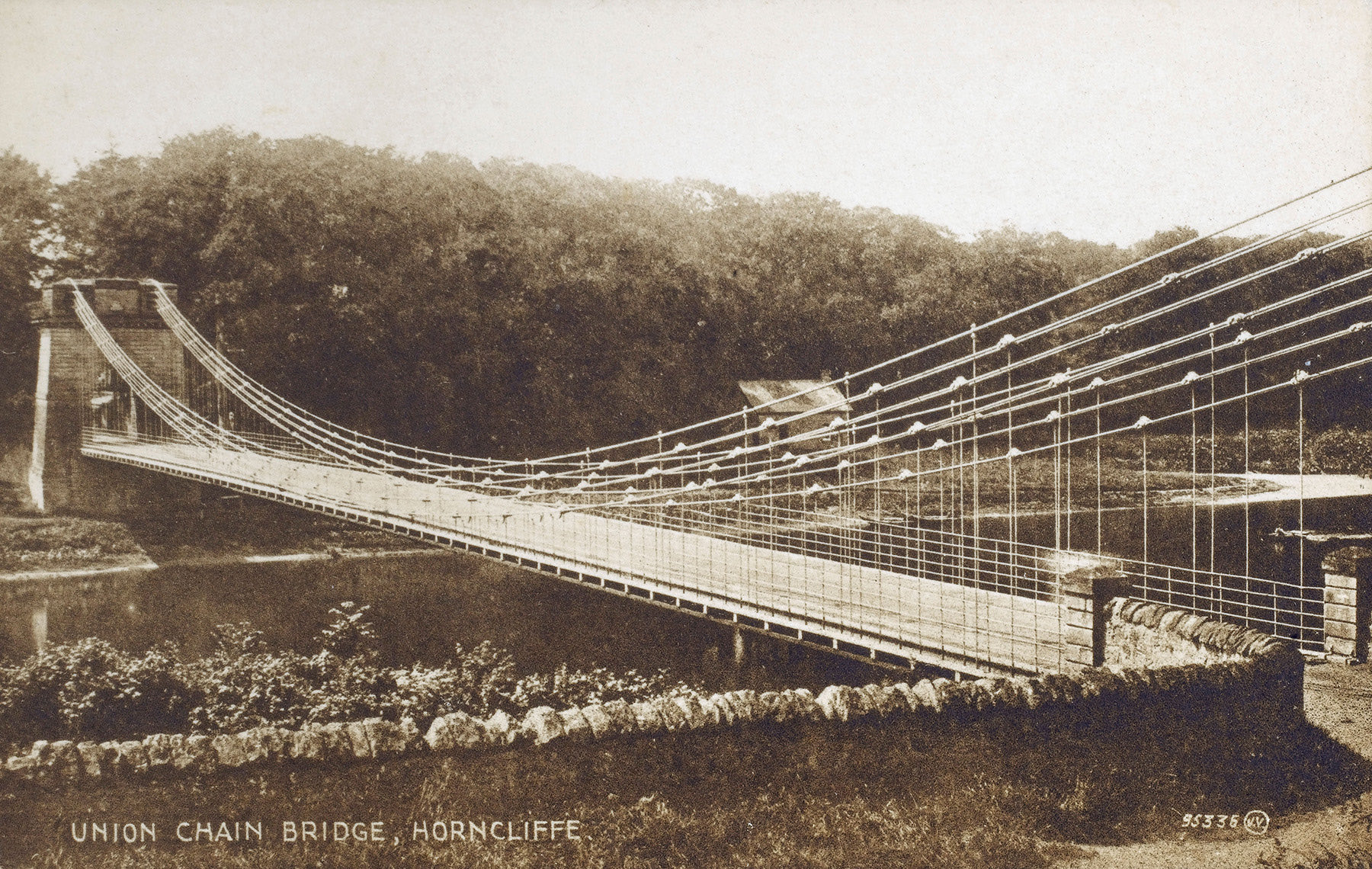
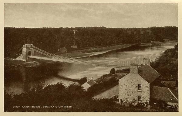
A few miles out of Berwick on the peripheries of the English and Scottish border you’ll find the Union Chain Bridge, a late Georgian masterpiece and upon opening the longest wrought iron suspension bridge on the planet.
Before then, you’d have a long journey to either Berwick or Coldstream in bad weather. Fords were unreliable, and if you had a batch of mail or a dinner party to attend to you’d be screwed. As a result the Berwick and North Durham Turnpike Trust commissioned Capt. Samuel Brown to design this trailblazing suspension bridge.
He learnt his craft through the Navy, where he was an officer. Hemp ropes proved an issue especially with the constantly enlarging vessels and demands put onto them. He recruited a set of blacksmiths to find an alternative, and came up with his own wrought iron chain.
The bridge opened in 1820 to much fanfare. 700 spectators crossed after the ribbon was cut. Until the 1880s, this bridge was toll only to upkeep, but became free of charge after the abolition of turnpikes. It’s now under the care of Northumberland County Council, and was restored a few years ago.
Listing Description


Both Ordnance Survey shown here depict the Union Bridge between the 1860s and 1890s. What they don't provide is the scale and topography of the area. The Union Bridge lies down a steep cliff, with a harsh gradient from the English side to Bankhead Cottage, It will have been a huge logistical challenge lugging all the materials to the Tweed.
The area was nearly as sparse as it is now, with much the same complexion today bar a few extra cottages. A ford can be seen just north at Bankhead - such would have been the norm before the bridge, but counting on them was difficult given the nature of the weather up here. The old toll house can also be seen on both maps on the end of the bridge.

The 1925 map presents a similar picture, though its lower resolution provides us an insight into the surrounding area. You may notice the site of King Charles I's camp to the east. This was the site of an encampment during the Bishops War, as detailed here: https://col.rct.uk/sites/default/files/950074-1576861220.jpg
The site of the Union Bridge is shown in the above illustration as a ford near a battery.

The Union Bridge in 2024

The Chain Bridge, undated. Source: The Chronicle

The Chain Bridge in 1942. The English toll house can be seen on the other side of the river which was demolished in the 50s. Source: Mary Evans / Grenville Collins Postcard Collection