Lady Chapel
Bothal, Northumberland
Last Updated:
2 Sept 2024
Bothal, Northumberland
55.167965, -1.654639
Site Type:
Church, Place of Worship
Origin:
Status:
Ruined
Designer (if known):
Grade II listed

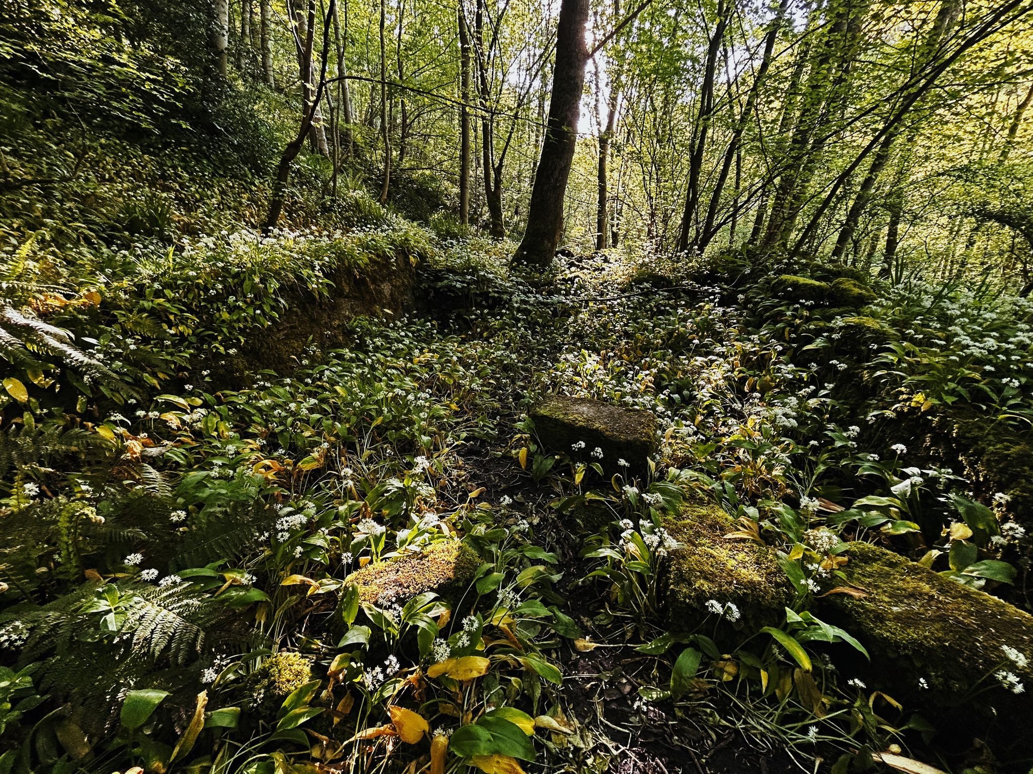
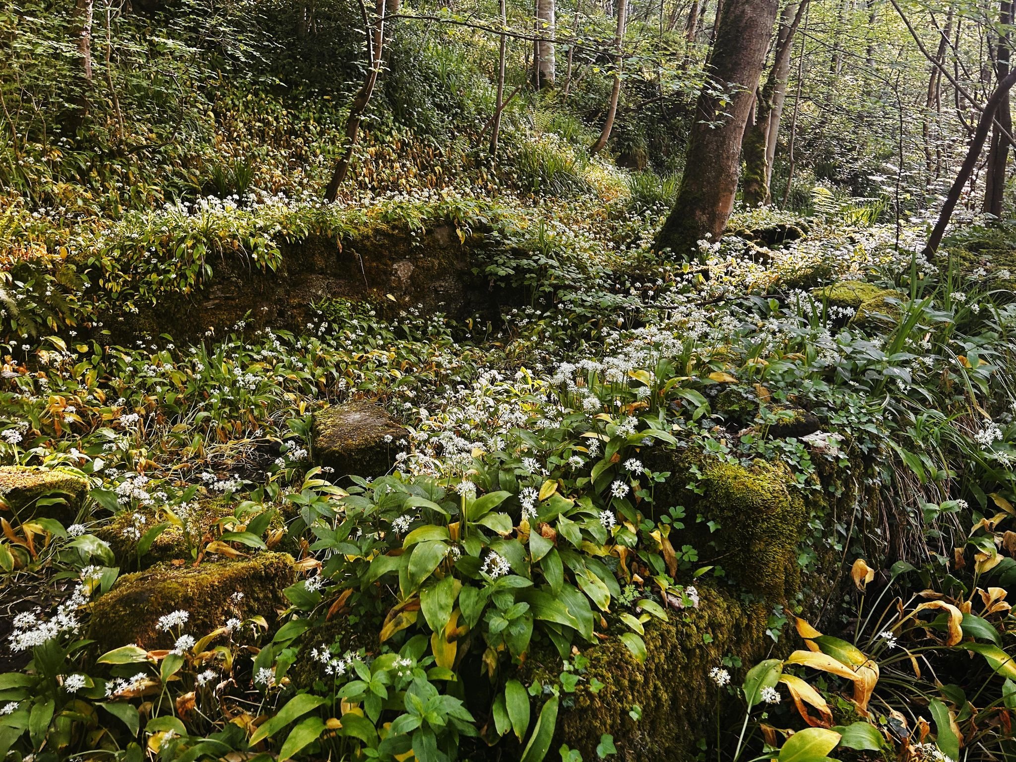
These neatly camouflaged stone walls are the remains of a 14th century chapel on the banks of the Wansbeck. It's known as the Lady Chapel, and is believed to have been constructed by the 1st Baron Ogle Robert, the owner of Bothal Castle.
It's said to be called the "Lady Chapel" in tribute to his wife Maud, daughter of John Grey and 1st Earl of Tankerville who served in the Hundred Years War under Henry V. A stone shield with the joint coat of arms is apparently on the gatehouse at Bothal Castle, which used to be incorporated into this chapel.
The chapel was small - 20ft x 20ft, built of sandstone and was roofed with stone slabs on large wooden ribs. On the side i'm standing there was a simple wooden door next to a "fine window of three lights". Much of the material from the chapel is likely to still sit in the Wansbeck below.
The Historic England listing states:
Listing Description


Both maps above illustrate the environs around the Lady Chapel between the 1860s and the 1890s. Though a rebuild was attempted in the late Victorian era, the chapel was in ruins for centuries before the 20th century. Interestingly the arbour was illustrated, which appears to be a shelter made of the surrounding trees or stems of plans - when I visited there were certainly traces of shelters though any trace it this specific shelter is probably gone. There is another man made shaft or feature next to Climbingtree Dean - this may be a shaft as they were common in these parts.
The 1890s map depicts a similar scene, though the Jubilee Well has only just appeared having becoming a prominent feature in the 1880s for Victoria's Jubilee. Dovecot Mill also appears to have ceased operations and was just a private dwelling by this time.

The 25 inch map surveyed in the 1910s provides a more in depth insight into the area, though remains undeveloped and very much parallel to the map surveyed in 1859.

Photograph of the remains of Lady Chapel in the woods near Bothal. Many of the stones are either in the river or were stolen by local folk for their own constructions through the centuries.

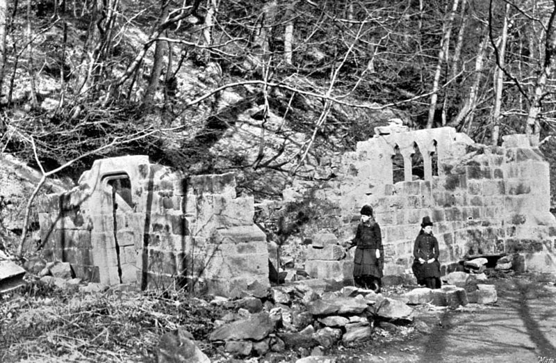
A Victorian attempt at rebuilding the chapel. Unknown original source, but retrieved from http://whatwemadethisweek.blogspot.com/p/our-ladys-chapel.html

A drawing of the chapel from 1772, which was printed by Francis Grose in his publication The Antiquities of England and Wales volume 5.. Source: http://whatwemadethisweek.blogspot.com/p/our-ladys-chapel.html