Duddo Tower
Duddo
Last Updated:
22 Apr 2025
Duddo
55.676806, -2.100111
Site Type:
Pele Tower
Origin:
Status:
Ruined
Designer (if known):
Scheduled Ancient Monument

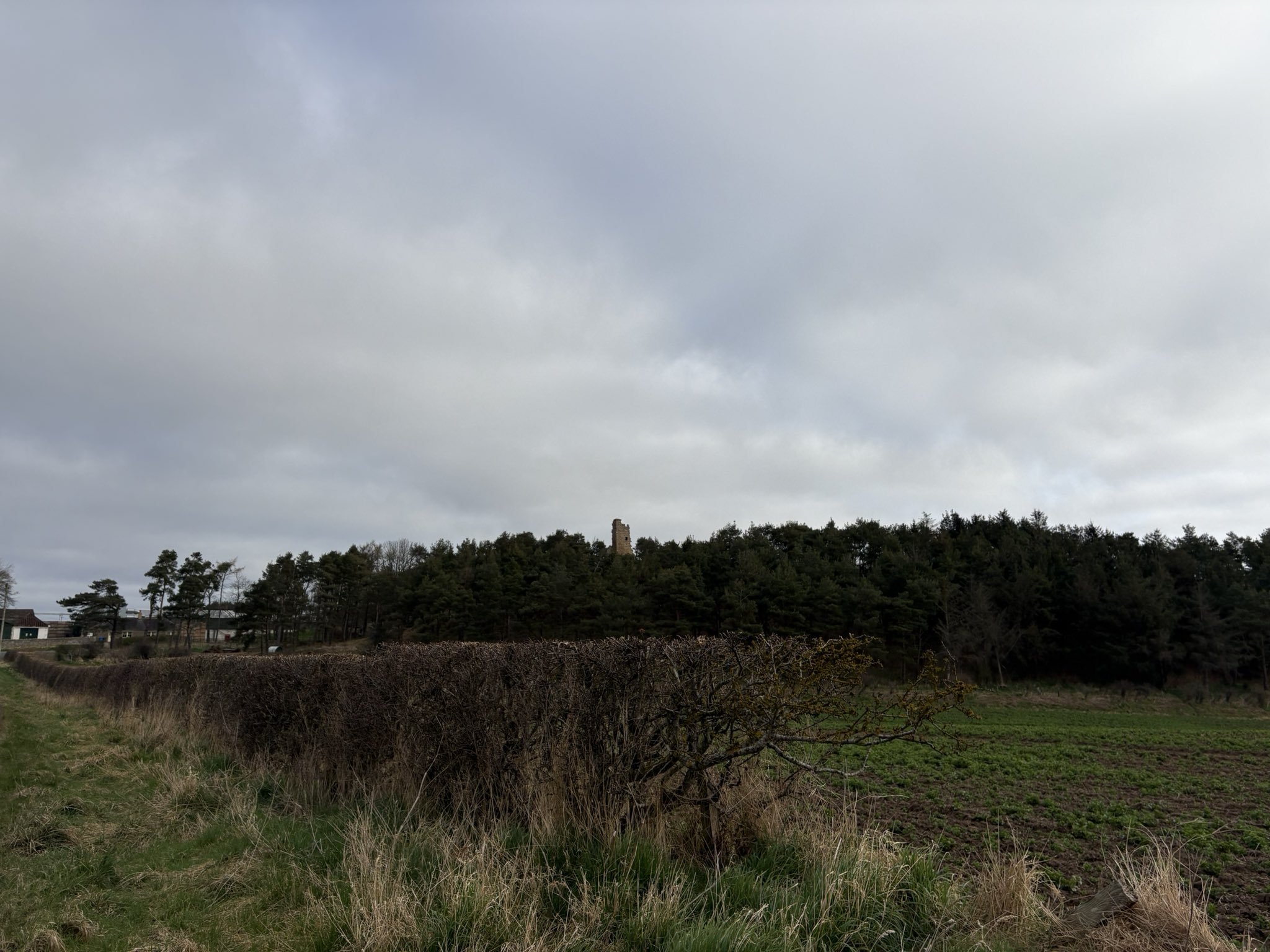
My photographs are a bit naff as I was eating a sandwich while taking them, but here's Duddo Tower - the dominating feature perched upon a blunt hill.
Upon the hill we find the crumbs of a late 16th century tower house - otherwise known as a pele in these parts. As we discussed with Ancroft last week, these defensive towers are eeeeverywhere in these parts due to marauding Scots who crossed the border into Northumberland on regular occasions. In fact, there was one here previous in the 1410s, but was destroyed in a raid by James IV in 1496. The same run also saw the ruin of towers at Branxton, Tillmouth, Twizell and Heaton near Cornhill. It was part of an ancient manor some 650 acres owned by the Stryvelling family - Stryvelling meaning Stirling, which is where their origins are found.
The ruins we see today came about from the repairs in the mid to late 16th century by the Clavering's. The surname is well known across Northumberland but another brand held land at Axwell Park and Chopwell. The part of the family who lived here were fairly junior, but resided here until the 17th century. Thereafter it was sold to Sir Francis Blake, a significant landowner (also claiming Twizell and Seghill) and High Sheriff of Northumberland in the 1780s. By this time though it was certainly ruinous and very certainly not lived in.
All we see today is the south west corner of the tower around 9 metres high, alongside traces of a window and part of a parapet. Luckily there are illustrations as seen below which give us a greater understanding of the structure before it reached this ruinous extent.
Listing Description


Both these Ordnance Surveys illustrate Duddo through the mid to late 19th century. This village hasn't changed at all, except the closure of the Swan Inn - a two storey house licensed for the sale of spirits as per the Northumberland Name Books. The dominating feature of Duddo is its farmstead where a tile works also featured. This was also owned by Thomas Friar as was much of the village in the mid 19th century. Duddo Tower remains the towering feature of the settlement.

The Ordnance Survey of 1924 again shows little change. A Post Office was opened nearby the old Swan Inn and opposite the village smithy, while a single property was constructed next to the old turnpike booth. In later decades, this would come to be the site of council housing - an example of the common occurrence of state funded housing in rural areas. The church remained a school at this time.

Though not very tall, Duddo Tower is strategically positioned to ensure anyone within a mile of so is in view of it. This is very clear when coming from the south. Taken in March 2025.

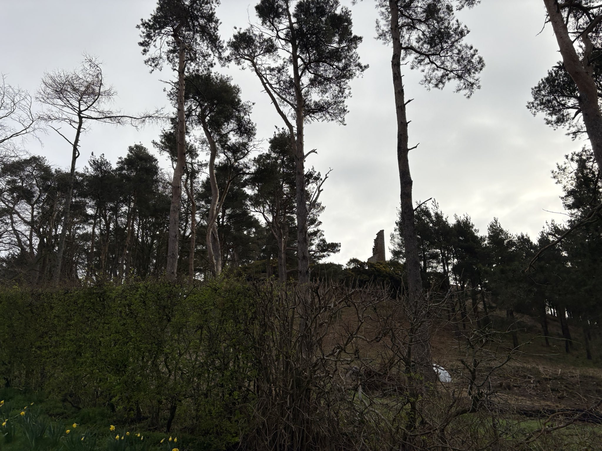
Duddo Tower from the bottom of the hill in March 2025.

Duddo Tower in all its finery in the 1950s. Source: © Historic England. Aerofilms Collection EAW046429 flown 25 August 1952