Cleadon Pumping Station
Cleadon, Tyne & Wear
Last Updated:
11 Jan 2024
Cleadon, Tyne & Wear
54.965625, -1.397471
Site Type:
Pumping Station
Origin:
Status:
Extant
Designer (if known):
Thomas Hawksley
Listed Grade II*

Public utilities weren't always built solely for necessity. Cleadon Tower is one such example of a civic need cementing its place on the landscape through beautiful and charismatic design.
The chimney, engine & boiler houses and cottages were all designed concurrently by Thomas Hawksley in the 1860s, addressing the urgent need for safe, clean drinking water in the area. Tyneside & Wearside was growing rapidly thanks to fast expanding collieries, shipyards and riverside industries and public utilities had to keep up somehow. They undoubtedly saved many lives from Cholera and nasty diseases.
Reservoirs and pumping stations cropped up across the region as urban areas blossomed into the countryside, often utilising old quarries. In this case, there was two purpose built basins on each side to hold water for further distribution to local areas.
It was built for the Sunderland & South Shields Water Company, created by an Act of Parliament in 1852, to provide this fresh supply of water. They amalgamated other companies like the Sunderland Water Works, and already built a large reservoir on Carley Hill.
They operated 3 sites by the 1860s - Cleadon, Southwick and Ryhope, pumping 3 million gallons of water a day from Humbledon, Fulwell and Cleadon for a huge area from Jarrow to Sunderland.
I should also mention what the tower is actually for. It provided draught for the boilers as well as providing an outlet for the waste fumes. It was also used for navigation for WWII, and was closed in the 1970s thanks to the opening of the Derwent Reservoir.
The site is now attractive apartments and a local landmark seen from both sides of Tyne & Wear. It is also a helpful reminder that we can build beautiful necessities.
Listing Description


Both Ordnance Survey maps depict the pumping station from the 1890s though to the years before WWII (when it was surveyed). In the 1890s the area was still relatively rural, the pumping station nestled between the village of Cleadon and Cleadon Quarry. The area south of Harton Nook was yet to develop as suburban area, and was still farmland operated by Cleadon Park Farm on the corner of Quarry Lane. South Shields Golf Club had already opened.
By the 1930s the periphery of South Shields had hit its epoch with the Ship Inn constructed on Sunderland Road. It was no longer an isolated area, with the need for residential areas trumping that of agriculture, to make room for the swathes of shipyard and colliery workers on South Tyneside.

This is a snapshot of the area a few years before the pumping station was built, via the Ordnance Survey surveyed in 1855. Quarries and farmhouses scattered the landscape alongside Cleadon Mill, which was still operating at this time. You'll see the land was dotted with footpaths too, given the lack of formal roads especially to Marsden (labelled as Marsdon).

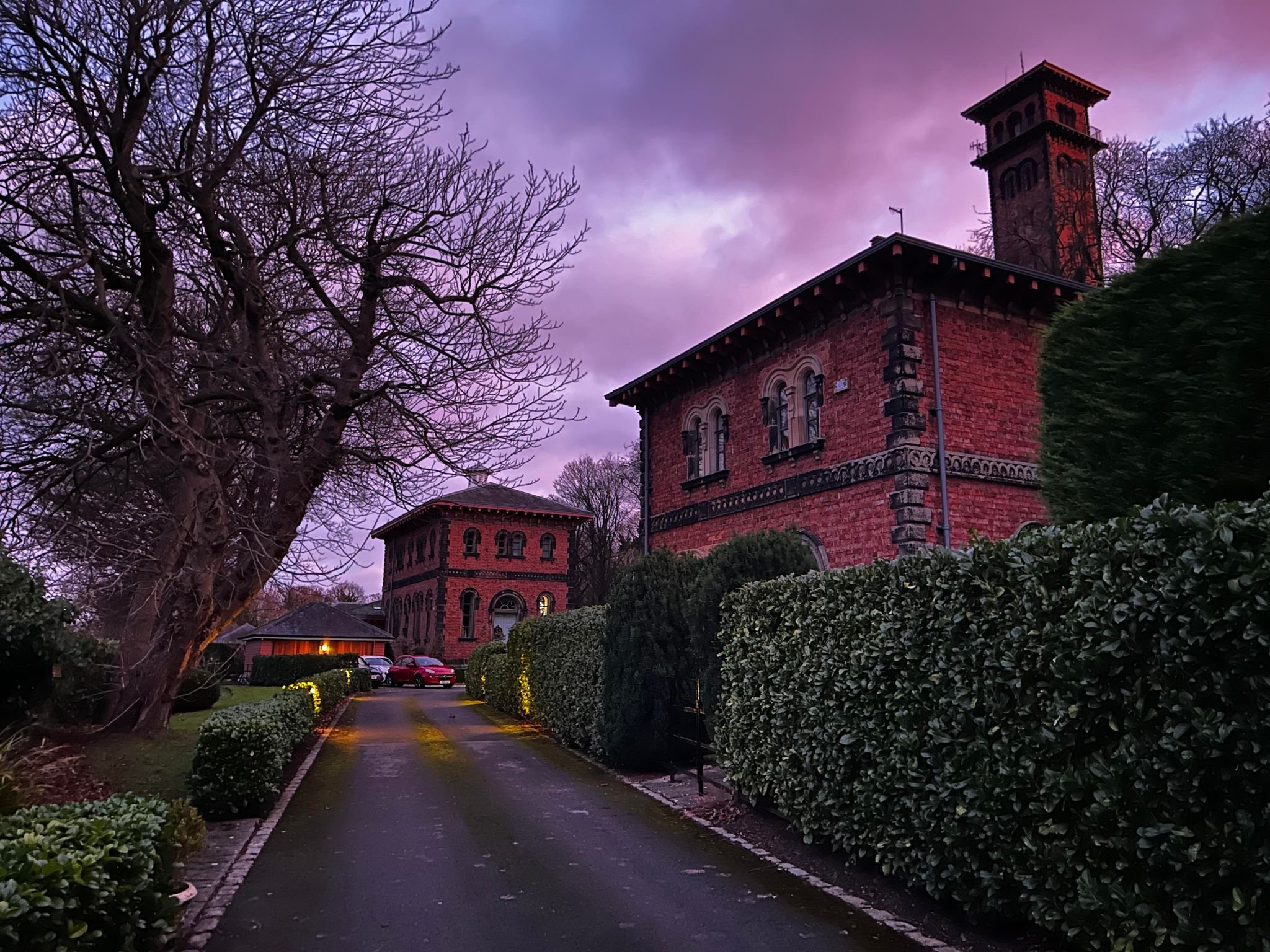
Cleadon Pumping Station and tower on a beautiful December morning in 2023.

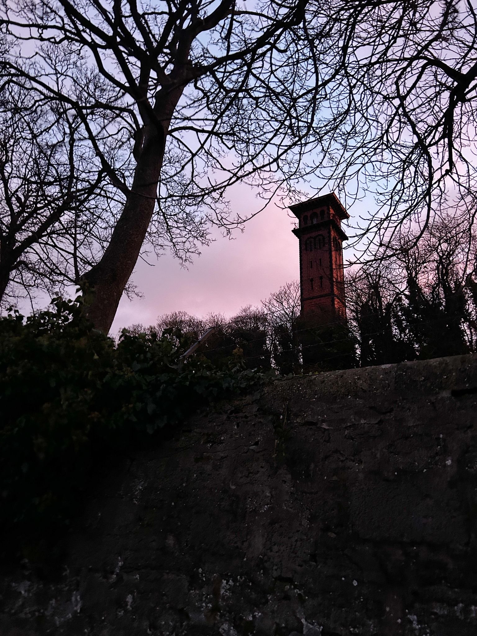
The elegant Italianate tower can be seen across Tyneside, putting beauty alongside function.

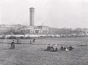
Undated photograph of Cleadon Pumping Station from Cleadon Park. Unknown original source.