Christ Church, Sunderland
Sunderland
Last Updated:
24 Nov 2025
Sunderland
54.897542, -1.381432
Site Type:
Church, Place of Worship
Origin:
Status:
Extant
Designer (if known):
James Murray
Now in use by the Sikh Community

I'd be here all day if we documented every single church in Sunderland, but we'll give it a go. This one certainly isn't worth missing too - the Christ Church on Ryhope Road, built to serve the affluent classes surrounding.
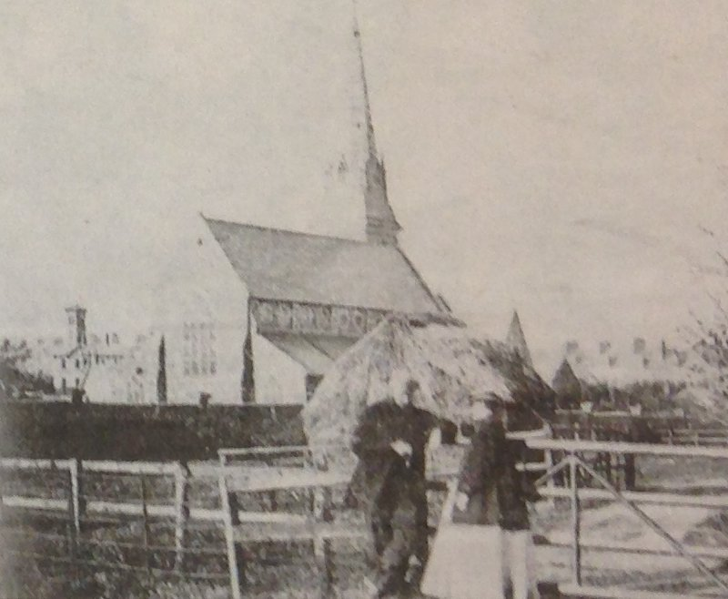
This one was constructed in the early 1860s, formed as the parish church. If you take a look at the third picture below, you'll see a shot of it just after it was built, with a haystack obscuring part of the transept. This is because this area was just beyond the denser parts of the town. Farms and villas lined the lane south.
It's composed of this beautiful rock-faced limestone and limed with sandstone - both copious in this area, with a tower styled upon the great medieval iterations. I'm sad to say I haven't been able to find a huge amount on this building, but it's quite clear plenty of money was piled into it by its residential neighbours.
This is especially the case when you consider they got James Murray to come in and design it - a Coventry man who worked in partnership with E W Pugin, the son of Augustus Pugin and both of which we've discussed before. This is very possible his only commission north of the Midlands, having very much been an influence on Coventry and wider Warwickshire.
The Church of England were sadly to demolish it in 1998, perhaps due to its cost and scale. We can certainly thank the Sikh community of Sunderland who saved at the turn of the millennium to transform it into a community space. If it weren't for other faiths and congregations, many of these historic buildings would be no more.
Listing Description


Both of these Ordnance Surveys depict Ryhope Road, first in the 1950s and back to the 1890s. Mowbray Road acts as almost a suburban boundary between the terraced middle class hinterlands of Sunderland and the Victorian villas & townhouses which sprang up after the rapid affluence from industry. Christ Church itself is emblematic of this, funded by glass makers and merchants who lived nearby to use as their own altar.
Over the years, many of these villas took on new roles as the more affluent dwindled into the 20th century. Carlton House became a youth centre, Langham Tower a training college, Park House & West Hendon House hostels and The Limes a prep school.

It's worth going all the way back to the 1850s, with this map published a few years later in the 1860s. That border I mentioned earlier is now distinct, with the triangular crossroads forming the entrance from the south into this growing town. I imagine its location influenced the money piled into it, effectively making it an incredibly grand gatepost to Sunderland and embedding impressions of a town proud of its affluence and spiritual roots. West Hendon House is one of the few villas pre-dating the church.

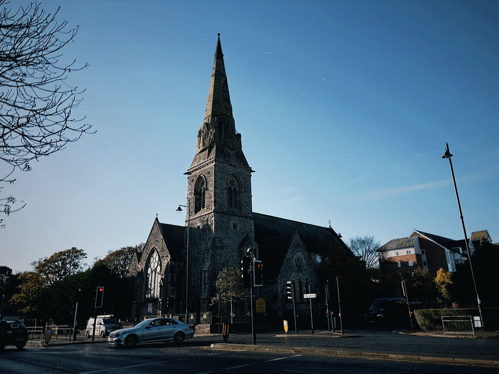
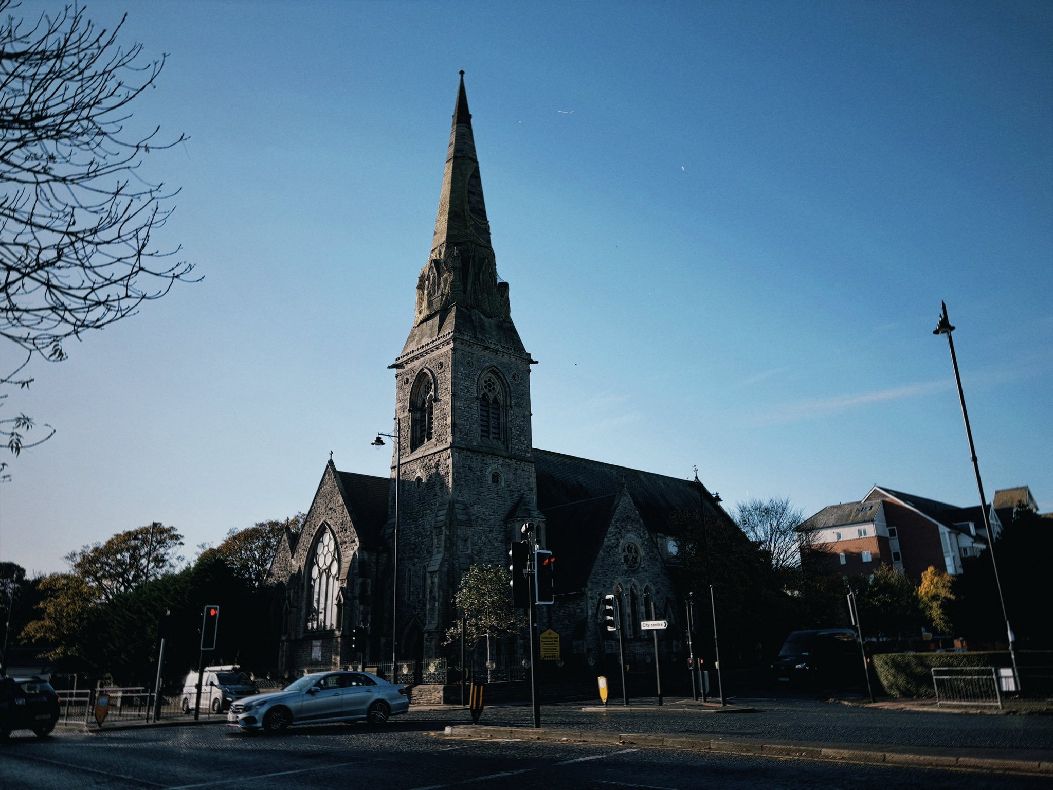
Christ Church in October 2025 facing south west

The church facing north east from Hendon Hill House, with Bede Tower in the background built in 1851. Undated, but possibly 1870s. Source: Sunderland Antiquarian Society

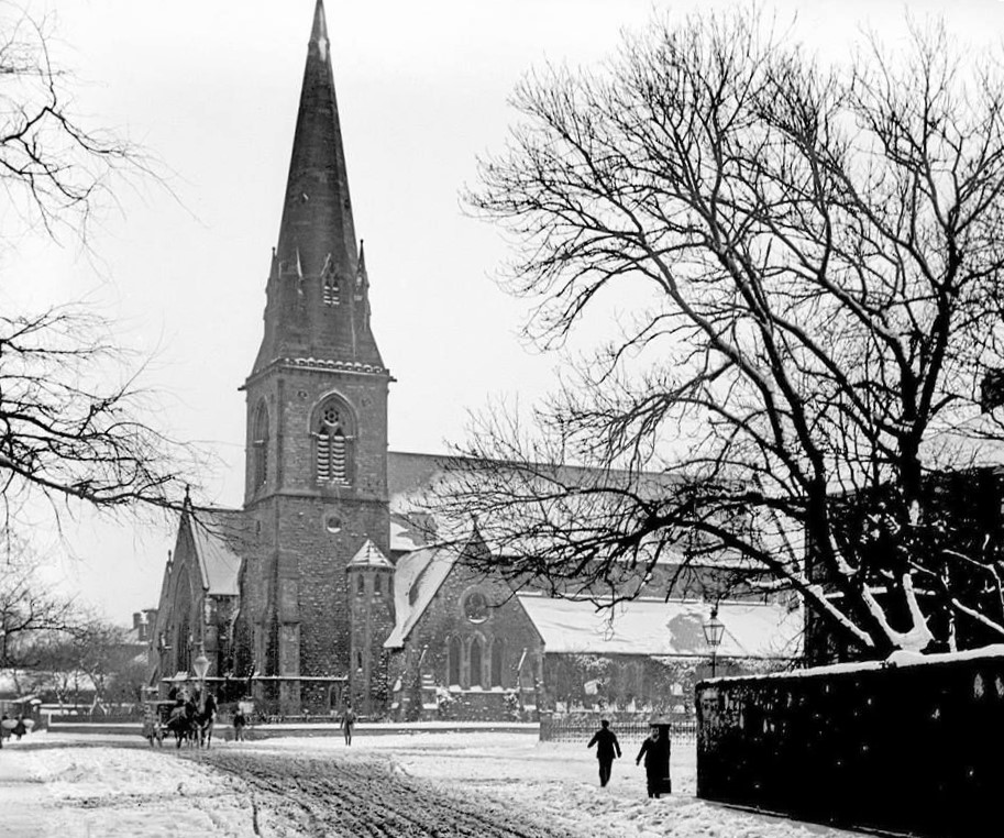
A lovely snowy scene on Ryhope Road in the early 20th century. Unknown original source.