wyl01a
Wylam, coal shaft
Wylam
54.974388, -1.839259
Opened:
Closed:
Unknown
19th c
Entry Created:
21 Mar 2023
Last Updated:
2 May 2023
Reclaimed
Condition:
Owners:
Description (or HER record listing)
NEHL - An old shaft is illustrated on the 1890s Ordnance Survey maps in this location, and is confirmed by the Coal Authority. This was likely a more significant working as a waggonway was constructed here between the 1860s and 1890s, and was abandoned by the end of the century.
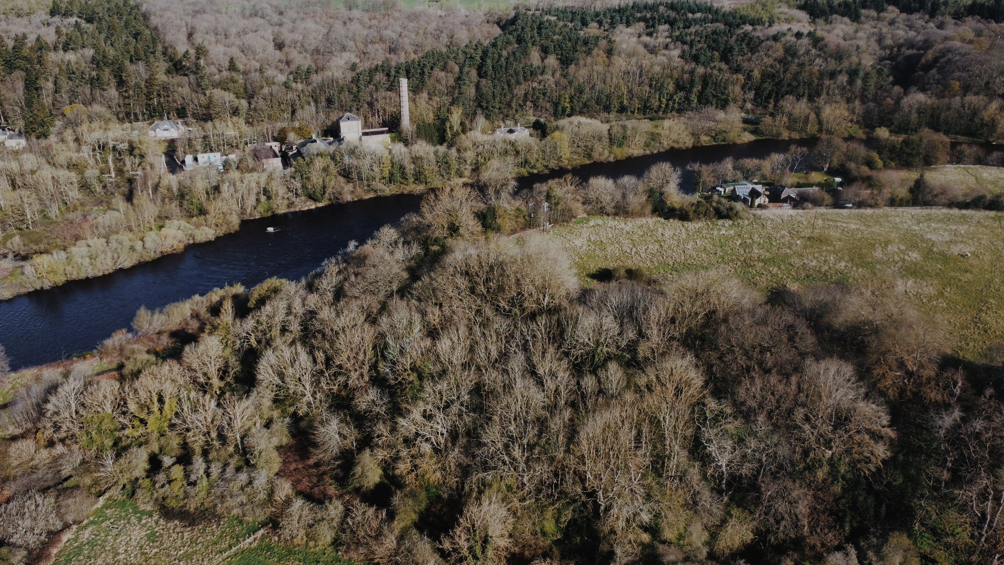
Even in the 1890s, there was a significant waste heap, a remaining chimney and a few ancillary buildings. It has however been difficult to assess the exact pit this was.

Ordnance Survey, 1897

The site of the pit can be seen on the right of the peninsula, with the clear line of the waggonway to the railway line. Source Historic England Archive (RAF photography) Historic England Photograph: raf_106g_uk_1193_rs_4234 flown 27/02/1946
Have we missed something, made a mistake, or have something to add? Contact us

The shaft was found in the woodland area at the bottom of this shot.
Historic Environment Records
Durham/Northumberland: Keys to the Past
Tyne and Wear: Sitelines
HER information as described above is reproduced under the basis the resource is free of charge for education use. It is not altered unless there are grammatical errors.
Historic Maps provided by

