whic01a
Cuthberts Hill, Coal Shaft
Whickham
54.926839, -1.692088
Opened:
Closed:
Unknown
19th c
Entry Created:
10 Feb 2023
Last Updated:
2 Jul 2025
Reclaimed
Condition:
Owners:
Description (or HER record listing)
NEHL - A shaft is illustrated at Cuthbert's Hill on 1890s Ordnance Survey Maps and is confirmed by the listing by the Coal Authority.
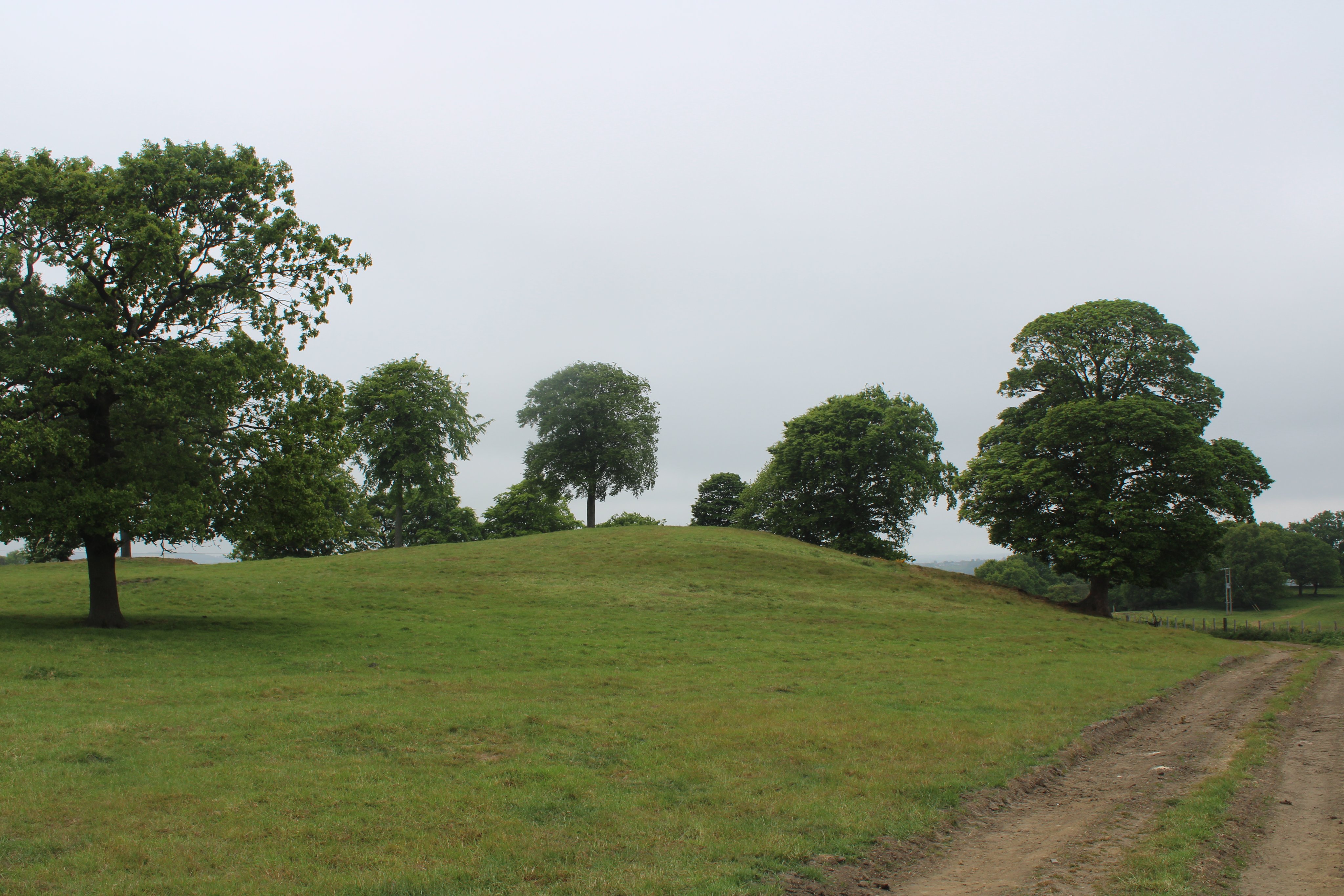
The area features some of the finest preserved early modern coal workings in the entire country, and each of these bumps you see are old spoil heaps or pits from around 4 centuries ago. This particular mount is probably named after Cuthbert Hall, who leased the land in the early 19th century.
Each of these pits were part of the Riding Field Way - a waggonway network from the 17th century owned by Ralph Harding, which connected a ton of these very concentrated workings down to the river at the gut of the Teams. It lasted into the 18th century, when the Grand Allies took on most (or all) of it until 1844. From there use terminated, as coal production shifted southwards.
These pits were loosely organised, but probably had a central mothership facility which sorted and transported the coal. However, anything beyond this is a total guess and would need deeper research. It's still absolutely staggering, and if you're into your mining history I'd thoroughly recommend traipsing the hills south of Whickham to see for yourself.

Ordnance Survey, 1862

Cuthberts Hill in May 2025
Have we missed something, made a mistake, or have something to add? Contact us
Historic Environment Records
Durham/Northumberland: Keys to the Past
Tyne and Wear: Sitelines
HER information as described above is reproduced under the basis the resource is free of charge for education use. It is not altered unless there are grammatical errors.
Historic Maps provided by

