D4721
South Derwent Colliery
Annfield Plain
54.858430,-1.744051
Opened:
Closed:
19th c
20th c
Entry Created:
20 Jan 2022
Last Updated:
30 Dec 2025
Reclaimed
Condition:
Owners:
Bainbridge, Kissop & Co. (1860s), R. Dickinson & Co. (1880s), South Derwent Coal Co. Ltd (1990s)
Description (or HER record listing)
If we added a commemoration for every colliery that existed in Durham the ground would subside from the weight of them, but I am always struck there's a lack of recognition for the pits which created the communities that rest on them.
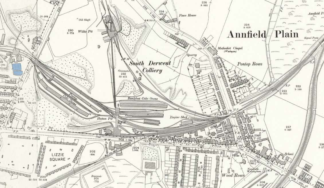
One such is the South Derwent Colliery, which opened next to Annfield Plain Front Street in the 1850s. It wasn't the first pit in the vicinity, but it's certainly one that fuelled the growth of this area. It was here due to the Stanhope & Tyne Railway, which made for an ideal location to construct coke ovens. Very old workings were reopened for the small coals, and the South Derwents were the greatest realisation of this.
The colliery featured two pits: the Willie Pit and Hutton Pit which were either side of the Bankfoot Coke Ovens, which in turn created coke from coal for metal working purposes. The working instigated the expansion of Annfield Plain, especially the rows and squares south of the village like Lizzie Square and the Wood Rows.
When you consider over 600 people worked here directly (and presumably hundreds more indirectly), it had vast influence over the woes and fortunes of those in the village. 1200 tons of coal were mined out daily in the 1890s.
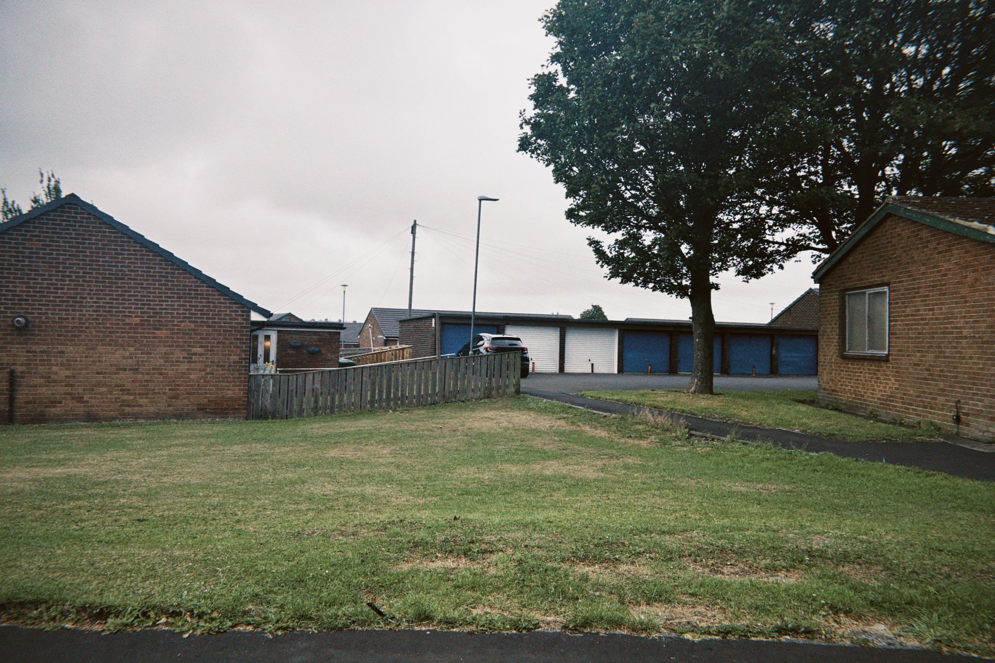
The pits were disused by the 1930s, and it was all repurposed for recreation use and housing. When these houses were built, I do wonder if the tenants realise they were moving into hallowed ground, given the importance to the wider area.

Ordnance Survey, 1890s

Site of the South Derwent Colliery in July 2025
Have we missed something, made a mistake, or have something to add? Contact us
Historic Environment Records
Durham/Northumberland: Keys to the Past
Tyne and Wear: Sitelines
HER information as described above is reproduced under the basis the resource is free of charge for education use. It is not altered unless there are grammatical errors.
Historic Maps provided by
