Willington Viaduct
Wallsend
Last Updated:
14 Nov 2023
Wallsend
54.993798, -1.506451
Site Type:
Bridge, Viaduct
Origin:
Status:
Extant
Designer (if known):
John & Benjamin Green
Listed Grade II

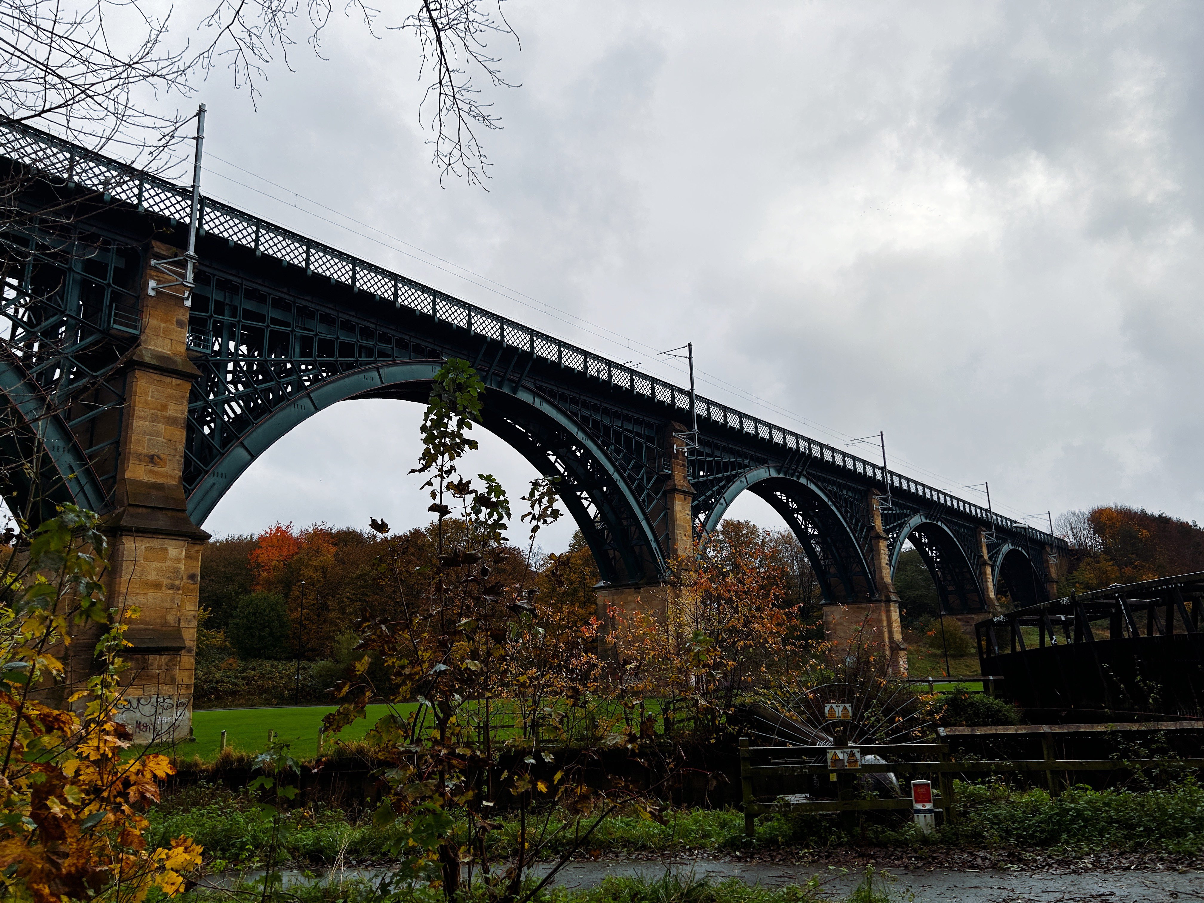
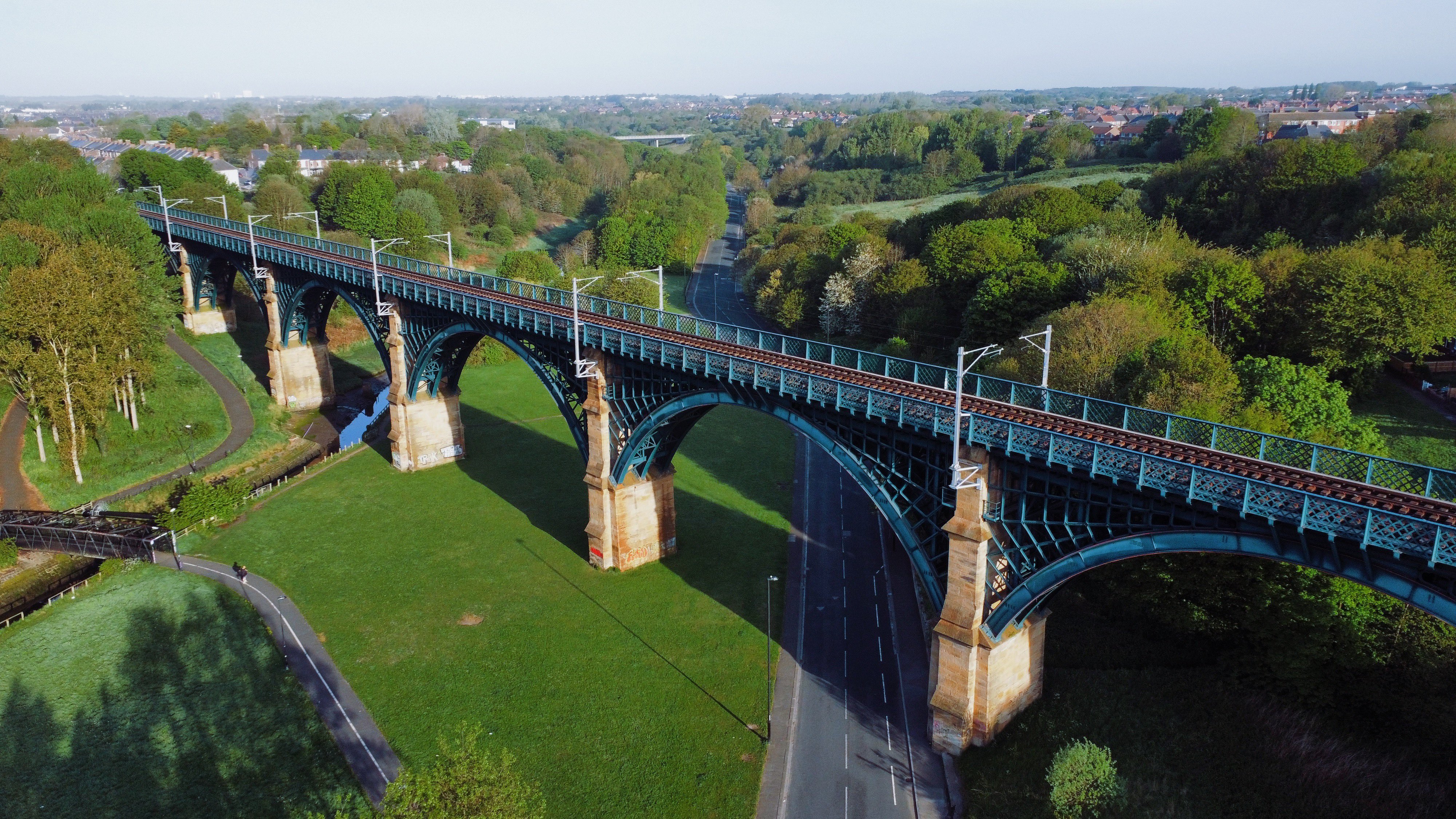
The Willington Viaduct is certainly one of the best looking viaducts in the North East. It's one of the oldest in use too.
The viaduct was built by John & Benjamin Green for the Newcastle & North Shields Railway at the end of the 1830s. were one of the foremost architectural partnerships on Tyneside, designing many of the bridges in the area. This includes the Scotswood Chain Bridge, the Ouseburn Viaduct as well as Newcastle's old Theatre Royal and the column of Greys Monument.
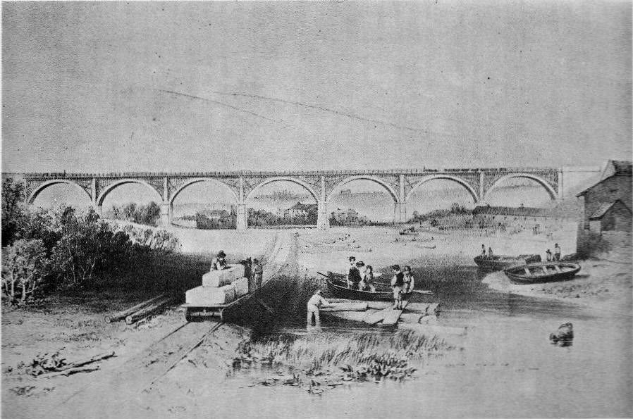
The structure is now a lovely piece of ironwork, but it was originally seven laminated timber arches following the exact same pattern across the valley. These were replaced with what we see today in 1869. The fitters of the iron reconstruction were the Weardale Iron & Coal Company, who had a vast portfolio of pits in County Durham, and were established engineers who dominated a whole supply chain.
The opening of the bridge is referenced in Herapath's Railway Journal of 01/07/1839. The viaduct is "approached on each side by an embankment, and its construction, in principle, is similar to the viaduct over the Ouseburn. There are only seven arches, which are built with laminated timbers, the end of which are fixed in metal sockets in the abutments, which are of stone; but it is of greater length than the Ouseburn viaduct, being 1,050 feet in length. Than span of the arches are also greater, being 120 feet between the abutments, but the height to the railway level is only eighty-two feet. An extensive prospect expands before the eye of the traveller as he passes along this magnificent structure."
The viaduct has remained in continuous use ever since, from the days of steam, to electric and to diesel. The structure is now owned and managed by the Metro, who still provide double track running albeit at reduced speeds to reduce maintenance expense.
Listing Description


The maps above illustrate the Willington Quay area from the 1850s to the 1890s. Sweeping change was seen through the latter half of the 19th century, with grand industrialisation enveloping the area brick by brick. Willington Quay was still a modest settlement when the map was surveyed in 1858, seeing early industrial staples like corn mills, roperies, smelting and small shipyards on the burn and the river. Point Pleasant was still a semi rural country villa, a stones through away from Willington House and Willington Villa who were built for the same purposes. A small waggonway also traversed the underneath of the viaduct from Willington Colliery to staiths at the mouth of Wallsend Burn.
In the decades after, grand engineering complexes opened on the riverbank. Point Pleasant was dominated by shipyards and new fangled engine works, while Willington Quay further developed as a shipbuilding hub, with terraces and amenities proving comfort to the men who worked there. Willington Gut also saw great development, with further terraces and the ropery expanding for greater production. Willington Colliery had closed by the 1890s, with the waggonway becoming Rosehill Road. The arch underneath the Newcastle to North Shields Railway is still in situ today.

The map of 1916 provides great clarity of the development which continued to industrialise Willington Quay. The quiet settlement of the Stephenson's no more. The Riverside branch line from Byker to Percy Main sliced through Point Pleasant, providing another route for workers commuting to the extensive river works. The rope industries further cemented their name in the area with the expansion between the viaducts, while more terraces were built on both banks to provide accommodation to workers and their families. The area tells the story of the wider North East, and continues to do so today.

Willington Colliery in 2023

An aerial photograph of Willington Colliery in May 2022

A Carmichael illustration of the viaduct from the south. It's difficult to say which tramway this depicts, and is certainly before the 1850s. The building on the left is likely Willington Mill, with Keelman's Row on the right under the viaduct.