Cambois West Staithes
Cambois, Northumberland
Last Updated:
15 May 2024
Cambois, Northumberland
55.140109, -1.521131
Site Type:
Staith
Origin:
Status:
Extant
Designer (if known):
Listed Grade II

To Cambois now, and the huge coaling staith which still dominates the north side of the River Blyth. This was the river where more coal was shipped than anywhere in Europe in the mid 20th century.
100 years ago you could barely even see the water for these giant structures on either side, as the river was a critical artery for the Northumberland economy. Coal was exported here for collieries throughout the Northumberland coal field. The Cambois staiths specifically linked the pits at Cambois, West Sleekburn, North Seaton, Newbiggin and the Ashington workings among others.
This set was constructed from 1910 for the North Eastern Railway and is 375 metres long today, originally 500m. The First World War disrupted progress, so were eventually finished in 1923. Multiple vessels could use it at once, with wagons shunted into position to drop coal down to holds on the vessels using gravity spouts.
The original three decks have since been demolished, and the structure truncated in the 90s. Their last use was in 1989, and British Rail + the Habour Commissioners sought to demolish it to allow wider berth for ships to manoeuvre. Little merit was seen when commercial advantages were much greater, and given the Dunston Staiths were well restored. Eventually though, it it was just shortened and we're left with most of this historic structure. It's listed too.
Listing Description


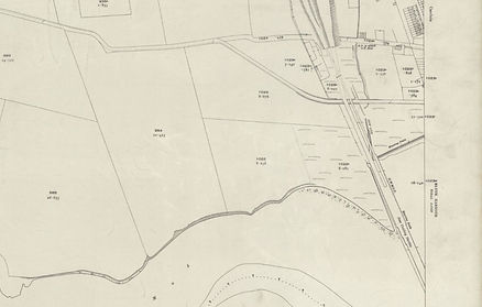
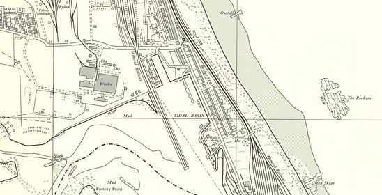
The Ordnance Surveys illustrate the staiths near Cambois and North Blyth on the north bank of the river. The OS sheet from 1923 shows the small open section of the Cow Gut which had been dredged and culverted for the railway and staiths. There is significant change 40 years thereafter, with further heavy industry and the power station in construction when surveyed.

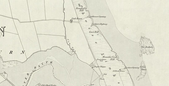
Moving back in time to 1865 here, showing the area well before the staiths. The Cow Gut was a dominant feature on the barren landscape, when only a few buildings stood here. The Link House was demolished in the years leading up to the 1890s. There was at least one shipyard on this side in the early 19th century, as well as small pocket hamlets and a public house.

The West Staith in 2024

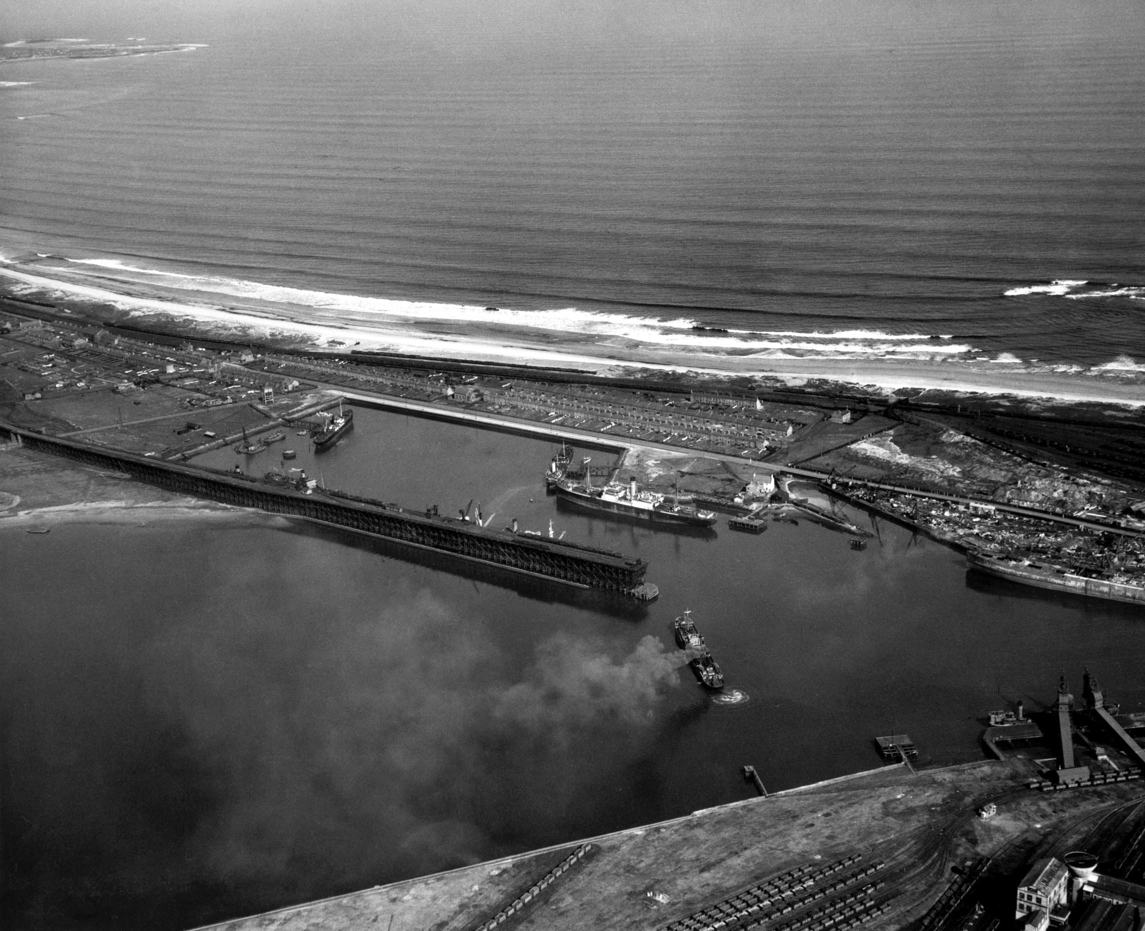
The staiths in 1935. Source: © Historic England. Aerofilms Collection Historic England Photograph: EPW048831 flown 01/08/1935 (August 1935)

Original source unknown, aerial shot of the staiths and tidal basin. Uploaded on https://www.rootschat.com/forum/index.php?topic=191043.0