Sunderland
Ayres Quay Jewish Burial Ground
Last Updated:
24 Oct 2022
Sunderland
This is a
Cemetery
54.911752, -1.395559
Founded in
Current status is
Disused
Designer (if known):

Still extant next to a recycling site
"A tiny Jews Burial Ground is shown on John Bell's plan of 1801. Still shown as a burial ground on modern Ordnance Survey maps. The burial ground is thought to have been founded in the mid 1700s. The Jewish community in Sunderland at that time lived in the area of Norfolk Street and Frederick Street and the synagogue was in Villiers Street. There are reported to be c400 people buried at Ayres Quay. When the synagogue and burial ground went out of use (the date is not known), a new synagogue was built on Ryhope Road (still in use) and part of Bishopwearmouth Cemetery became a Jewish burial ground."
- Sitelines
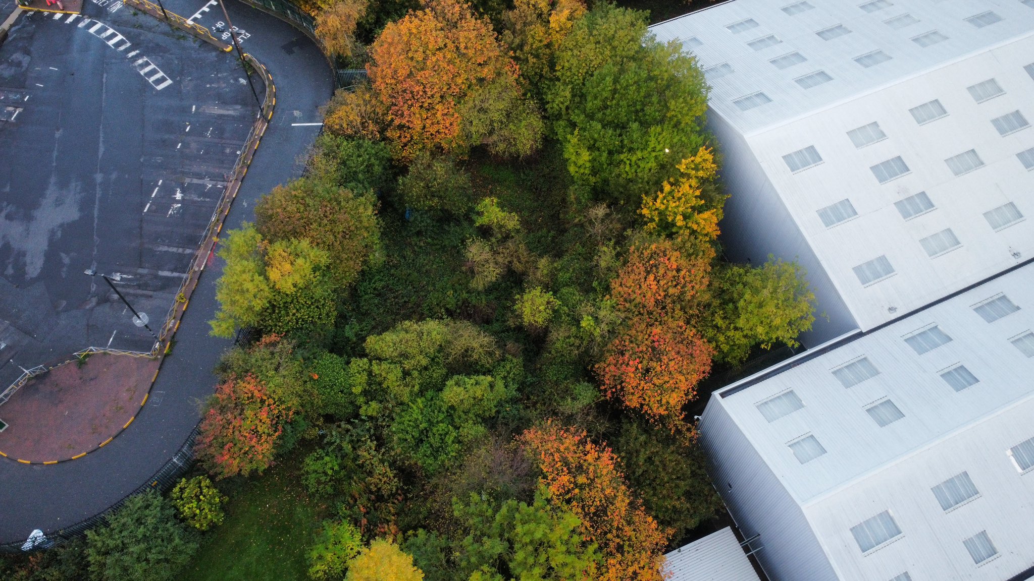
NEHL - Presently, the burial ground is extremely overgrown and is pretty much inaccessible in the wetter months. There are still a few graves and monuments remaining which are under the blue sheets as seen in my aerial shot dated 22/10/22. Presumably the sheets are in place to protect from weathering and vandalism. The burial ground was cleaned up around a decade ago but I presume untouched since.
Listing Description (if available)


The 1862 and 1897 Ordnance Survey maps above illustrate the Jewish burial ground on Crescent Row. In the 1860s the site appeared much more expansive and open, but was cramped into a small square due to housing developments and the Lambton Railway immediately south.

The 1919 edition still shows the burial ground but disused, showing it was likely lacking maintenance and care even at this point. The area had further industrialised, and the lack of appreciation can surely be indicated by the adjoining urinal.

Aerial shot of the burial ground today. Unfortunately I came to the site on a wet autumn day so visibly was not exactly great. However, the shape of the site can still be seen.

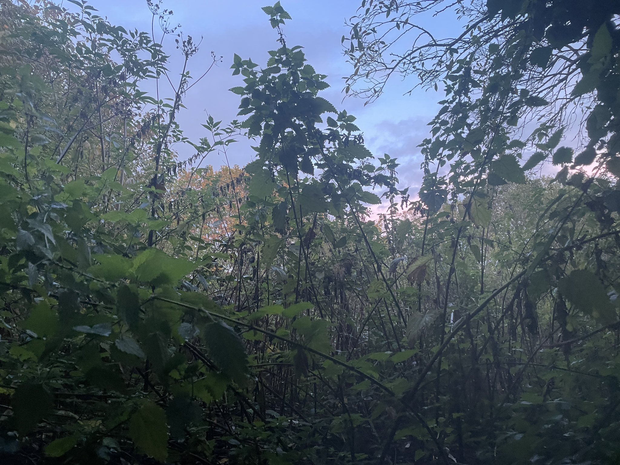
The burial site shown from the south on the ground. This is around where the urinal was placed. There is a platform/ledge which does allow access to the site, however was too overgrown to even contemplate. Just to the left of this photo is a stone wall which is extant from when the square was constructed in the 2nd half of the 19th c.

The burial ground can be seen in this aerial shot from 1936. The urinal can be seen in front but is almost entirely blocked off by the large stone wall. An allotment is adjacent on the left. Source: © Historic England. Aerofilms Collection Historic England Photograph: EPW051126 flown 01/07/1936
