WW13
Beamish Deviation Line
Pelton to Annfield Plain
54.876827, -1.654002
Opened:
Closed:
1894
1980s
Entry Created:
28 Feb 2023
Last Updated:
9 Apr 2023
Extant
Condition:
Owners:
North Eastern Railway
Description (or HER record listing)
NEHL - The Beamish Deviation Line of the North Eastern Railway was established around the 1890s to serve the countless collieries and industries in North West Durham, and as a secondary line to the original Pontop & South Shields branch. It also provided passengers services serving Pelton, Beamish, Shieldrow and finally Annfield Plain. Services can from Newcastle to Consett.
A swathe of pits were served with various waggonways branching from the line, mostly for the network of Beamish Colliery workings. Many of these were operational well into the mid 20th century.
WALKABILITY: ★★★★★
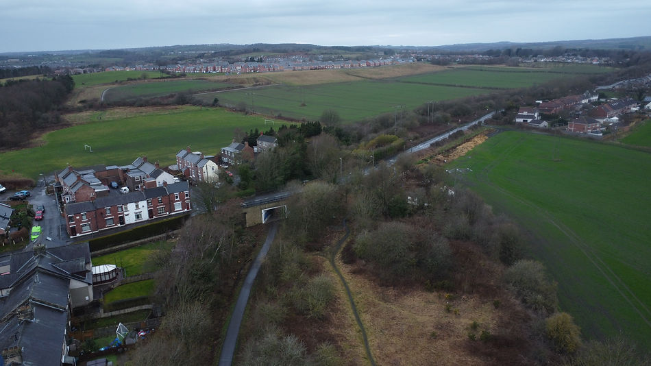
Most of this route is perfect for beginner walkers, those with mobility issues as well as the experienced walker as the views can often be lovely. If heading from the east it is mostly uphill on a slight gradient, but doesn't detract from the experience. Plenty of railway paraphernalia can be seen including legacy railway bridges, tunnels and left behind trackwork at some stations. It proves to be one of the best in the North East.

Ordnance Survey, 1898

The Beamish Deviation Line through Pelton, serving as a lovely guide through North West Durham's pit villages.
Have we missed something, made a mistake, or have something to add? Contact us

A goods train heading east through Beamish Station. Source: Ben Brooksbank, Creative Commons License
Historic Environment Records
Durham/Northumberland: Keys to the Past
Tyne and Wear: Sitelines
HER information as described above is reproduced under the basis the resource is free of charge for education use. It is not altered unless there are grammatical errors.
Historic Maps provided by

