sslui01a
Seaton Delaval Colliery
Seaton Sluice
55.089230, -1.485474
Boiling Well Drift
Hastings Pit
Opened:
Closed:
19th c
1947
Entry Created:
17 Aug 2023
Last Updated:
17 Aug 2023
Redeveloped
Condition:
Owners:
Seaton Delaval Coal Co. (1880s), Hartley Main Collieries Ltd. (1929), Bedlington Mains Coal Co. (1943)
Description (or HER record listing)
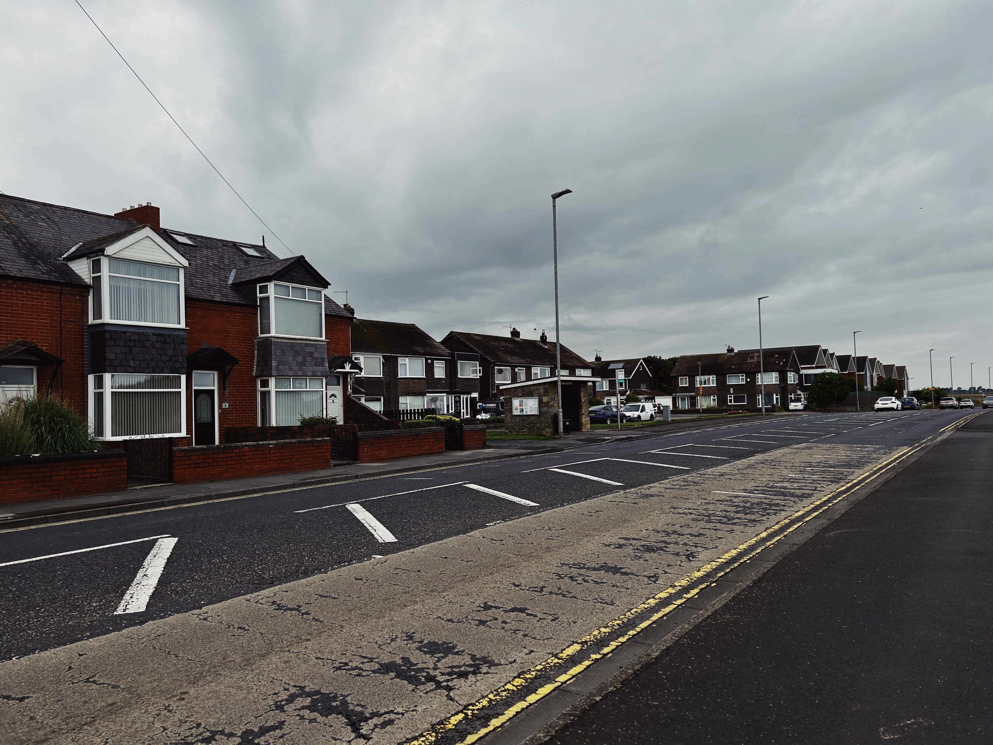
NEHL - Directly next to the Astley Arms at Seaton Sluice stood the Hastings Pit. It was a level, so men would enter the mine via a sloping drift rather than drop down a shaft.
The shaft appeared to have been sunk around the 1880s, and does not appear on the maps surveyed in 1858. It was part of the Seaton Delaval portfolio of collieries, who operated nearly a dozen pits in the area all connected. This pit was likely useful as it reached the seam quicker with it being at sea level.
We find Hastings Pit illustrated as a level on the 1890s maps with two sets if buildings. The level was likely a small opening inside one of the buildings, with no formal colliery activity above ground - likely left for the much larger sites to deal with.
The pit was still in situ until the end of WWII, and is still named as Hastings Pit until the 1940s. However, by 1932 it was solely used as an underground access road to save the long walk from the shaft bottom at New Hartley to the coal face. A pit canteen also stood at this site, which may be the photograph provided by Billy Embleton (https://twitter.com/billy6715/status/1691725440740729185?s=20).
It is also colloquially known as Boiling Well drift given the adjacent feature.
It was just about where the bus stop is. The houses are set back from the site I think.

Ordnance Survey, 1947

Have we missed something, made a mistake, or have something to add? Contact us
Historic Environment Records
Durham/Northumberland: Keys to the Past
Tyne and Wear: Sitelines
HER information as described above is reproduced under the basis the resource is free of charge for education use. It is not altered unless there are grammatical errors.
Historic Maps provided by

