Willington Gut Drawbridge
Willington Quay, North Tyneside
Last Updated:
9 Apr 2023
Willington Quay, North Tyneside
54.991618069485625, -1.5042679651984148
Site Type:
Crossing
Origin:
Status:
Demolished
Designer (if known):
Piers still remain but drawbridge demolished

Not too far from the mouth of Wallsend Burn was a drawbridge, which allowed access from Point Pleasant and the industry of Willington Quay long before the road bridge we now know was constructed.
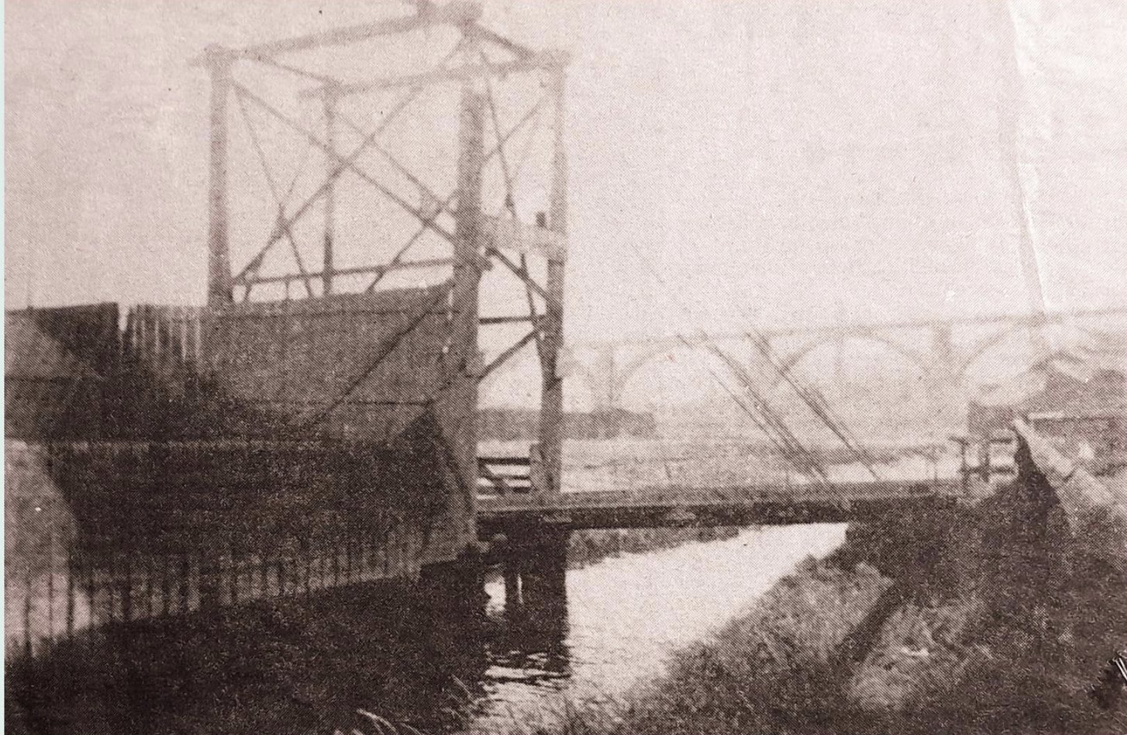
The drawbridge was constructed in the late 1890s by the Wallsend Slipway Co. , who were an independent engineering company at Point Pleasant. It was built as a drawbridge so barges could still access the stretch of burn further inland, closer to the mill and the rope works. The burn was too narrow for any more significant a construction which still allowed river traffic.
The drawbridge at The Gut was in use until the second half of the 20th century. It has also been the scene of various accidents. One such was in October 1939 when Ralph Wilson, a 44 year old from Quality Row at Cowpen, drowned after mis-stepping on the wooden drawbridge. The coroner concluded it was an entirely accidental drowning. A "soldier companion" who was with Wilson at the time said he fell to the side and "went over the very low railing into the water". He said it was "very dark at the time".
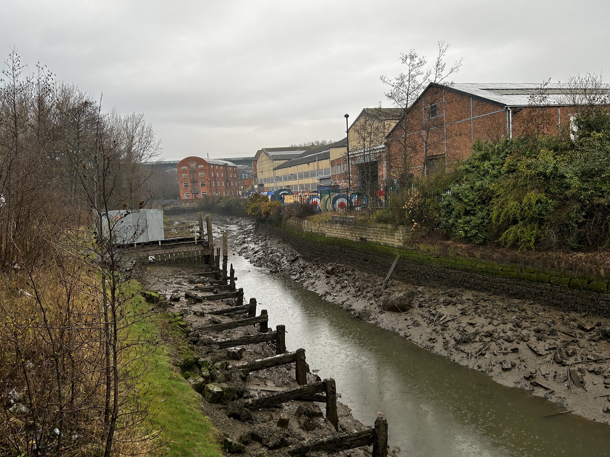
There are still the remains of the timber and stone bases on either side of the burn. Neither side it accessible these days.
Listing Description


Both maps above illustrate the drawbridge at Willington Quay. The 1898 map illustrates the bridge not long after it was built, featuring the main road down the hill from Point Pleasant. It may indicate the presence of an older crossing here, as the nearest over place to cross the gut was over at Church Bank. The Riverside branch line was directly south of the drawbridge, which was taken over the valley by a large viaduct.
The 1916 map delivers a similar landscape, though the rope works had expended just north of the crossing.

The 1947 map shows an area further intensified by industry. The Willington Rope Works further expanded, giving the need for a canteen which was just up the hill at Point Pleasant. This was probably for the workers of the Wallsend Slipway Co.

Photograph of the slipway in 2023. The stone and wooden bases can be seen which is now blocked off. The burn has silted significantly.

Photograph of the drawbridge at the same location of my photo but on the other side of the burn. From eye, it appears there is iron truss bolted on timber. The drawbridge itself had no barriers, leaving little question as to how Mr Wilson sadly fell.