South Shields Synagogue
South Shields
Last Updated:
17 Jan 2024
South Shields
54.996006, -1.428213
Site Type:
Synagogue, Place of Worship
Origin:
Status:
Extant
Designer (if known):
J Page
Now a dance studio

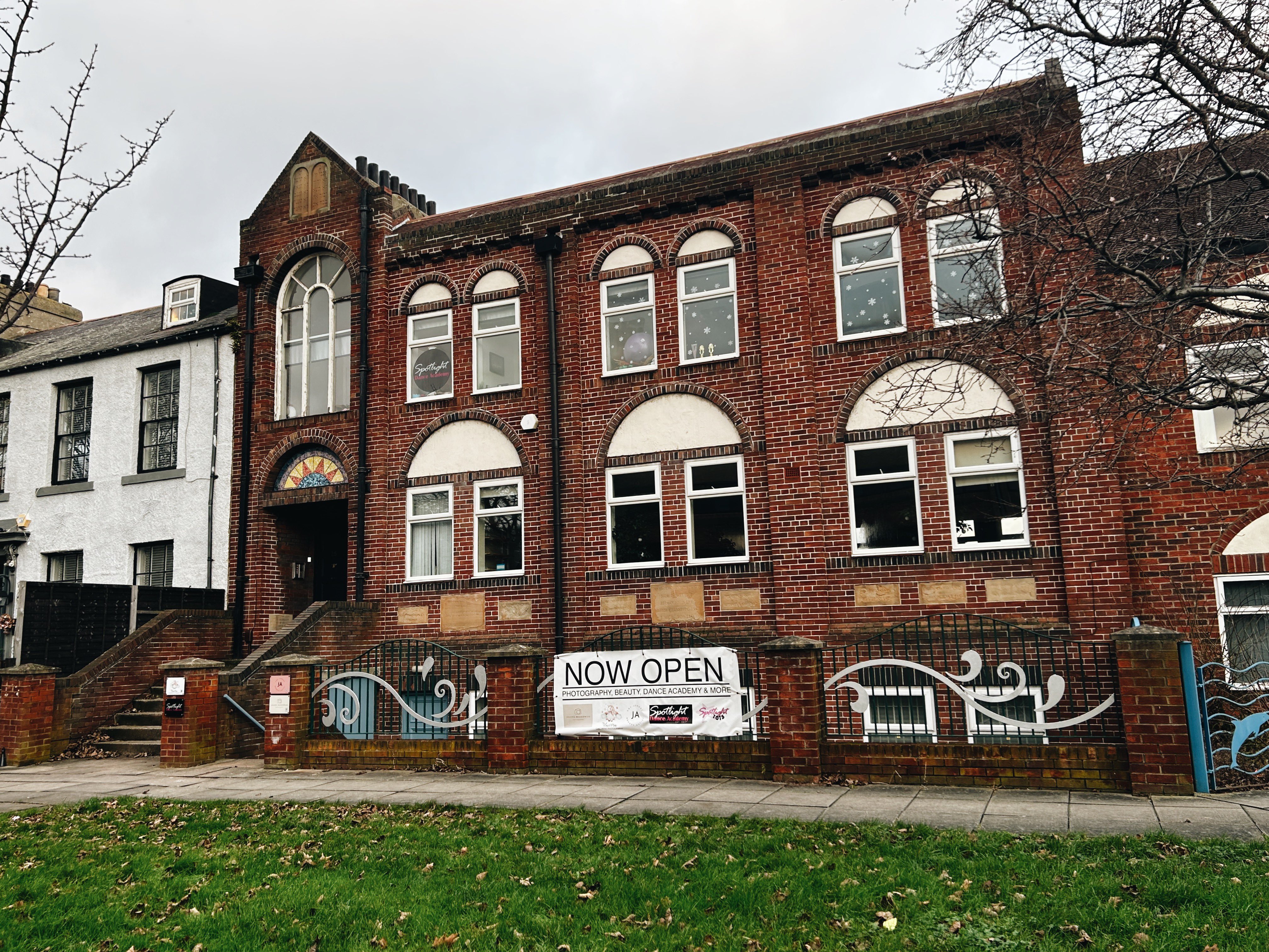
This is the wonderful red brick South Shields Synagogue on Beach Road, formerly Bent House Road near the Town Hall.
Congregation began here around 1914 around half a century after the first Jewish community settled here. Their first place of worship was not fixed though - halls were hired at places like Mill Dam as well as members houses being used, and the congregation was shared with North Shields. The town was a melting pot of nationalities and cultures at this time thanks to its seafaring tradition.
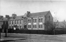
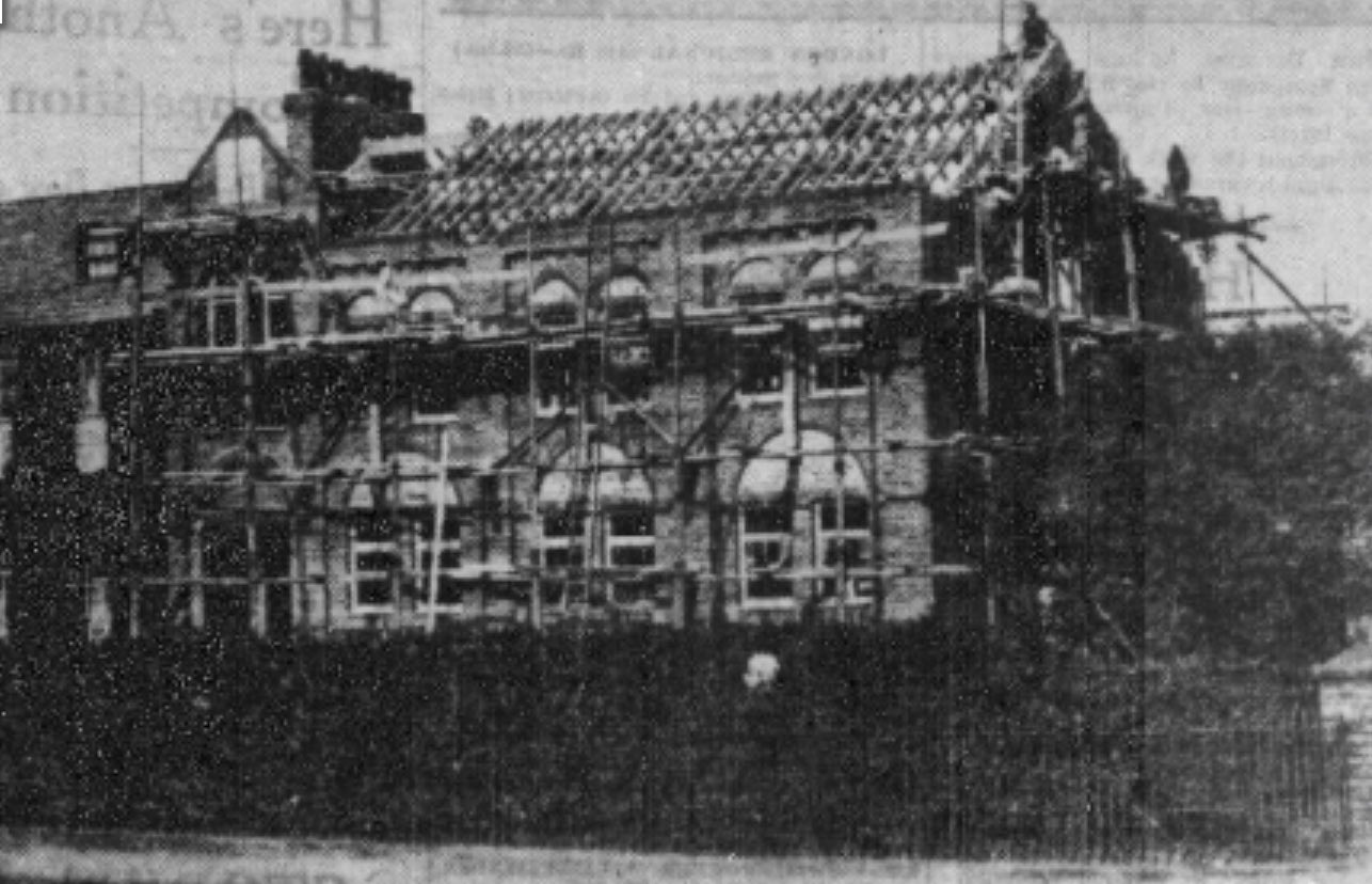
The first established synagogue was at 38 Charlotte Street just down the road from here until the First World War. Thereon services were held here until it was rebuilt into this lovely and distinct construction in the early 1930s (seen in the 4th pic).
The Chief Rabbi of the British Empire, Dr Hertz, consecrated the rebuild. It cost £4000 providing a new space for the estimated Jewish citizens in the town at the time.
The synagogue closed in 1994 and is now a dance studio.
Listing Description


Above, we see South Shields and the vicinity of the synagogue from the most recent map in 1945 to how it looked before its rebuild in 1896. Sadly, the 6 inch map from 1945 is not as detailed, but we can see the Municipal Buildings have filled the void shown on the 1896 Town Plan. Beach Road was then known as Bent House Road, presumably named so as the lane to Bent House which has since been demolished.
The 1896 plan shows Ogle Terrace in its entirety. The front gardens no longer take their previous form, and even the back gardens were remodelled which you will see on the next, much older plan They’re named Ogle Terrace because this land was once owned by the Rev. John Saville Ogle of Kirkley Hall. They were built on his land in the 1810s for the wealthiest in the town - ship owners, merchants etc who wished to live on the periphery (think Jesmond, Graingerville, Bensham). Previously each property had front gardens too, but these were lost in road widening schemes.
The end property, number one on the first photo was actually the vicarage for St Hilda’s. This is probably the legacy of Ogle, but appears to be owned by the Dean and Chapter in the 1890s.

The 1857 presents Ogle Terrace with intriguing detail, with the old synagogue adjoining the east end. It was one of the larger properties on the terrace. It is clear this area was reserved for the most affluent in the town, given the landscaped gardens and reasonably large townhouses. As noted, the wealthiest started seeking property in the peripheries of fast industrialising cities away from the smog and clattering of a busy riverside.

The synagogue in 2023.

The synagogue after opening in the 30s. Unknown original source.

The synagogue during construction in the 30s.