Chapel of St Mary, Jesmond
Jesmond, Newcastle
Last Updated:
2 Sept 2024
Jesmond, Newcastle
54.992512, -1.596235
Site Type:
Church, Place of Worship
Origin:
Status:
Ruined
Designer (if known):
Scheduled Ancient Monument and Grade 2* Listed

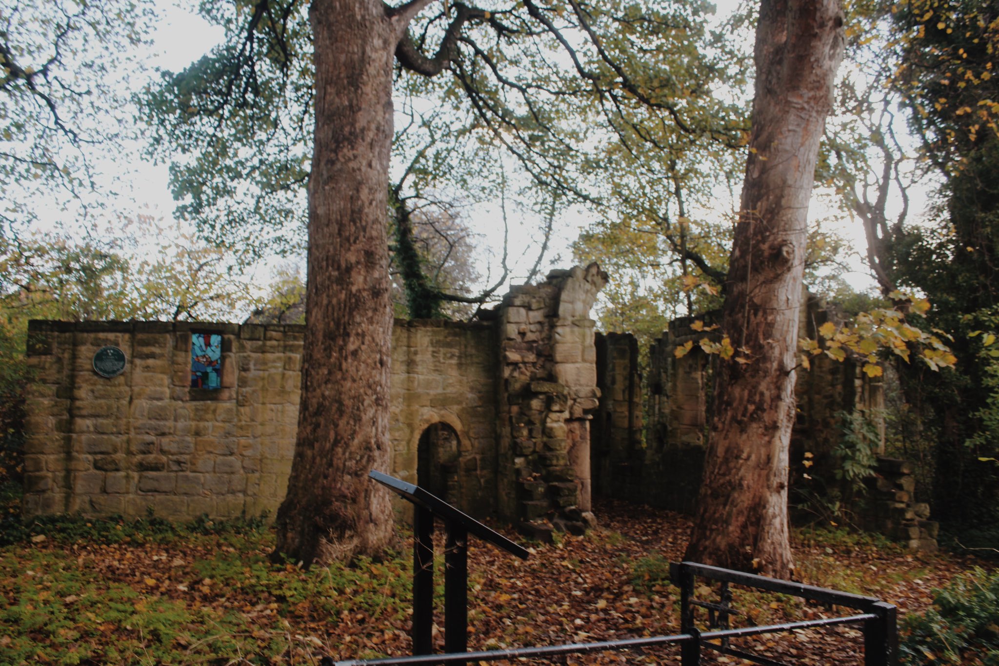
"The chapel, which fell within the parochial chapelry of St. Andrew, Newcastle, is first mentioned in 1272 and was a place of pilgrimage in the Middle Ages. It was dissolved in 1548 and dismantled before 1562, but up to the end of the 18th century a part of the ruins was still known as the Hospital, through having been the hospice of the pilgrims. It had various owners until Lord Armstrong gave it to the City in 1883. The ruin consists of a fragment of the east end of the nave, an incomplete 12th century chancel arch (the earliest part of the ruins), substantial remains of the chancel, and a building of uncertain use on the north side of the chancel."
- Sitelines
NEHL - One (contested) theory is that Pilgrim Street was named so as it was a resting stop for travellers on the way to the chapel. It still sees visitors paying respects to their relatives - notes left in Latin with pictures of their loved ones. A very poignant and beautiful place.
Much of the ruined building today dates from the 15th century side chapel - The earlier portion from c.1120 including the Nave and main hall were dismantled in the 16th century. The arch on the 1st tweet is the earliest part still in existence, which was part of the first chapel.
Listing Description


Both maps above illustrate the Reid Park Road area from the 1850s until the 1890s. The prior shows a Jesmond we little recognise - rural, without the terraces (and students!). At this point, the area was exclusive to the genteel, with a number of large villa houses dotted round the area, most of which have since been demolished. Jesmond Terrace still exists though, as well as Jesmond Cottage and part of the Banqueting Hall.
The 1890s paints a much more familiar picture, with terraces beginning to encroach the banks of the dene. Reid Park Road still hadn't been laid out.

The large suburban villas had encroached Heaton by this illustration from 1913, published 1916. Terraces had fully enveloped the area down to Jesmond Vale now, and is similar to what we would expect today, though north of the chapel was still fairly quaint.

Ruined St Marys Chapel, 2022. The arch in the centre forms part of the oldest sections, dating from its first construction in the early 12th century. The first church will have extended towards the camera, through the right tree. Much of the construction we see today is an extension.

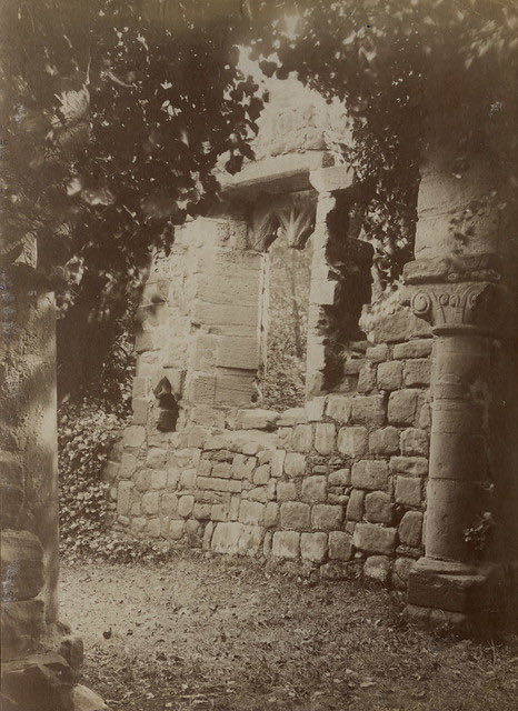
A photograph of the chapel in 1903, the same perspective as the next photo. Worshippers still visit here, placing paraphernalia on ledges such as these. Source: Newcastle Libraries

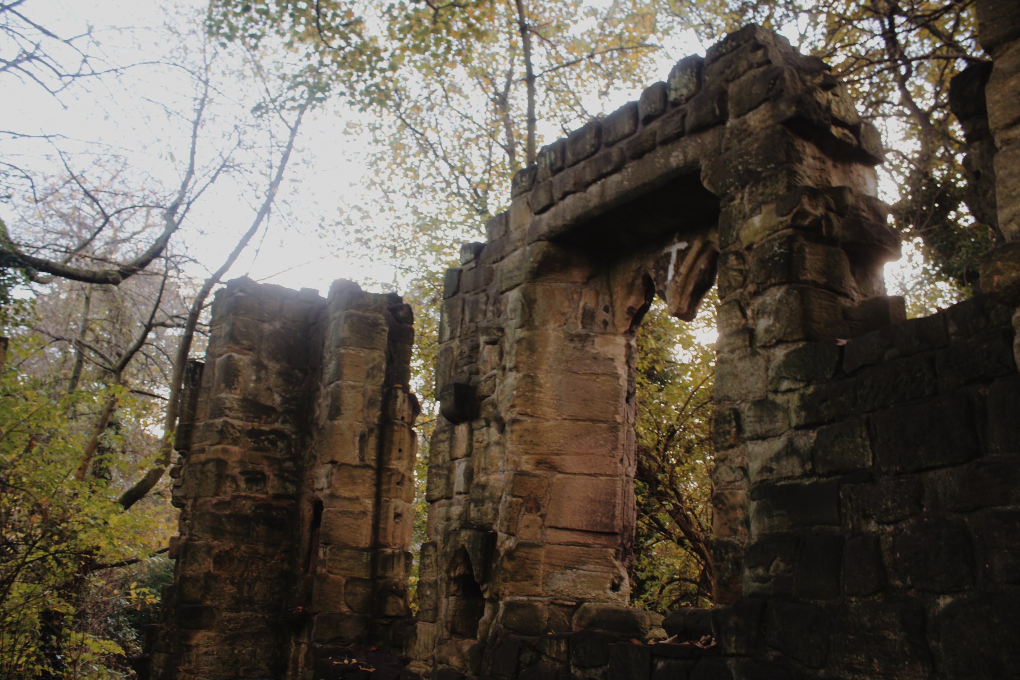
Part of a ruined window. Shot taken 2022.