3967
Brass Pit, Throckley
Black Callerton
55.003946,-1.743122
Opened:
Closed:
Entry Created:
3 Sept 2021
Last Updated:
29 Jun 2023
Reclaimed
Condition:
Owners:
Description (or HER record listing)
Disused mine shaft, one of many in the area visible as circular crop marks on aerial photographs. Dating is uncertain, but coal mining is known to have been carried out in the area from at least the early 17th century and is very likely to have been practiced earlier. Small workings of this sort may have been exploited up to the late 19th century. The mine shaft is marked as Old on the 1st edition OS mapping, so was out of use by 1860. Shown on an eighteenth century plan ZAN/M17/197/a/24.
The coal mining remains at Dewley Pits survive well and represent a remarkably well-defined concentration of late 18th century and 19th century shaft mounds. The earthworks overlie remains of earlier ridge and furrow cultivation, which illustrates the impact of the Dewley Pits on the earlier rural landscape. Most significantly, they provide information for the historical and technological development of coal mining in this area, contributing towards the understanding of the transition from small scale, low investment mining to the more capital intensive, nucleated mines that emerged in the late 18th century in an area of arable fields. In this respect they are of national importance.

Ordnance Survey, 1865

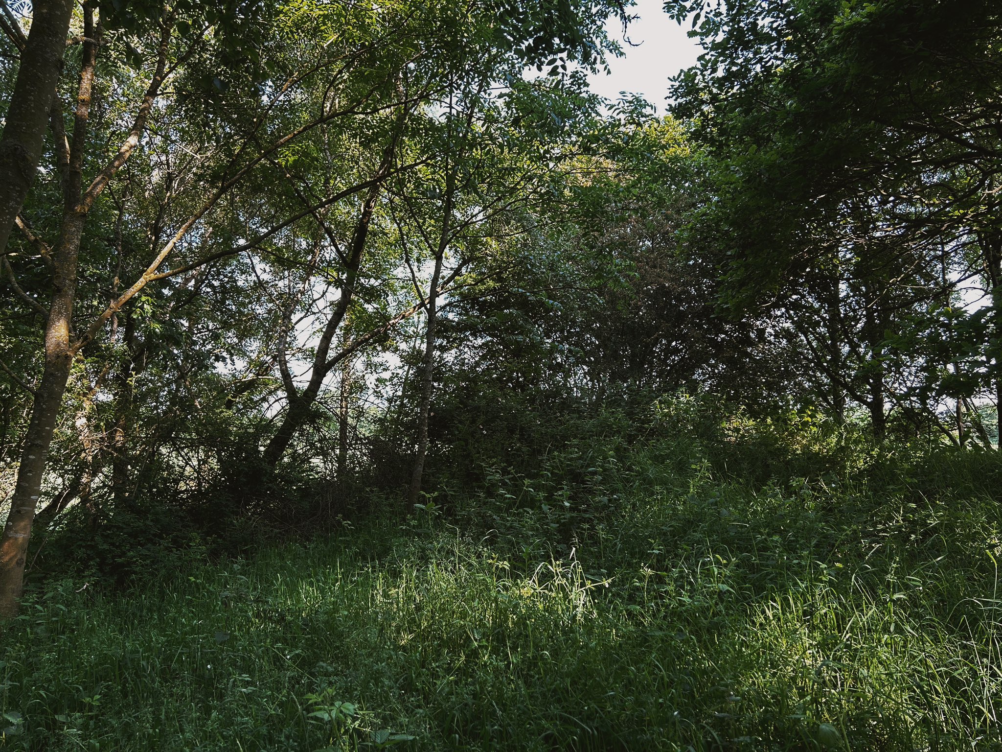
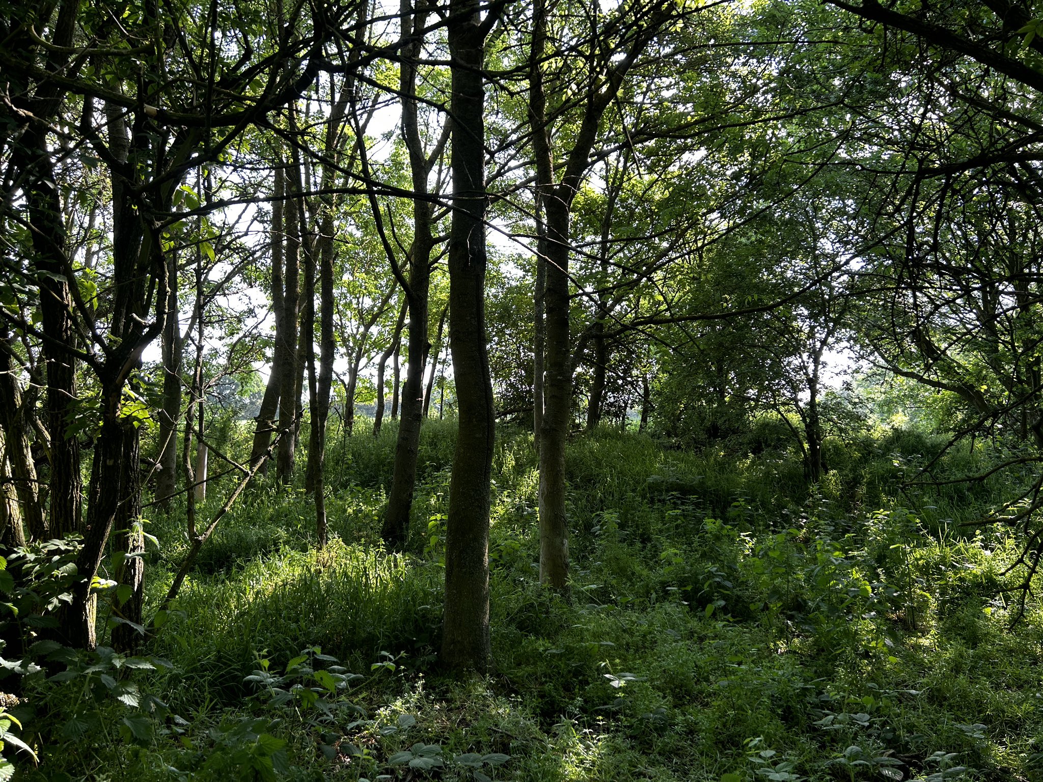
Brass Pit, 2023
Have we missed something, made a mistake, or have something to add? Contact us

The site of Brass Pit in 2023. There is significant more undergrowth than the other pits nearby.
Historic Environment Records
Durham/Northumberland: Keys to the Past
Tyne and Wear: Sitelines
HER information as described above is reproduced under the basis the resource is free of charge for education use. It is not altered unless there are grammatical errors.
Historic Maps provided by

